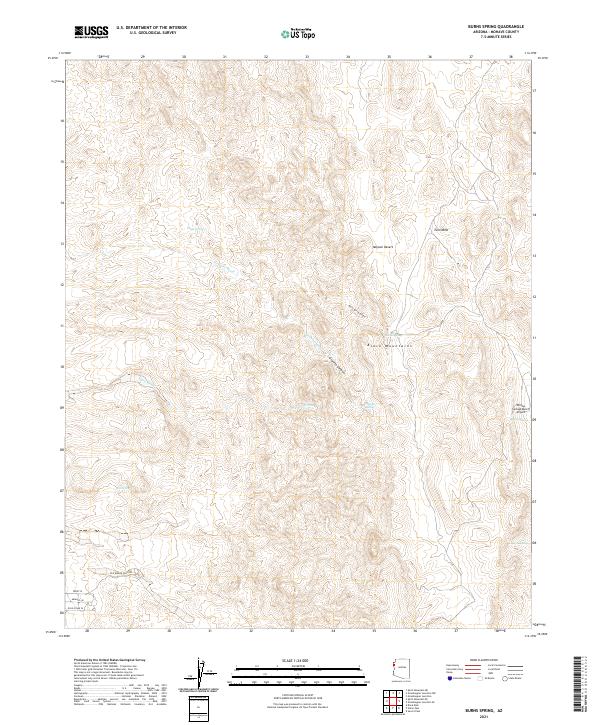
2021 Map of Burns Spring
USGS Topo · Published 2021About this map
Black Mountains geology and arid drainage patterns define this part of the Mojave Desert in Mohave County. The landscape is characterized by deep erosional features like Granite Canyon and Burns Spring Canyon, which channel seasonal runoff through Granite Wash and Turo Wash. Human presence is sparse but concentrated around vital water sources and ranching infrastructure, evidenced by Twin Mills and a series of named desert seeps including Chalk Spring, Rhyolite Spring, and Box Spring. Historical transit routes are preserved here, most notably the Old Wagon Trail Rd and several primitive desert tracks like Gold Stake Pl and Trout Pl. The map also captures the Willow Springs Ranch Airport and its namesake Willow Spring, providing a detailed record of remote habitation and aviation infrastructure in the high desert at the start of the 2020s.
Find a feature on this map
22 named features on this map. Tap any name to fly to it.
Don’t see what you’re looking for? This feature index may not catch every label — zoom into the map to look around manually.
Map Details
Editions of this 2021 Burns Spring Map
This is the sole edition of this map. No revisions or reprints were ever made.
Other maps of this area

1886 · Camp Mohave
USGS Topo · 1:250,000

1892 · Camp Mohave
USGS Topo · 1:250,000

1926 · Mohave City
USGS Topo · 1:96,000

1942 · Camp Mohave
USGS Topo · 1:250,000

1947 · Kingman
USGS Topo · 1:250,000

1948 · Kingman
USGS Topo · 1:250,000

1950 · Davis Dam
USGS Topo · 1:62,500

1952 · Davis Dam
USGS Topo · 1:62,500

1954 · Kingman
USGS Topo · 1:250,000

1955 · Kingman
USGS Topo · 1:250,000