Loading...
Loading map...2022 Map of Burr Oak
USGS Topo · Published 2022About this map
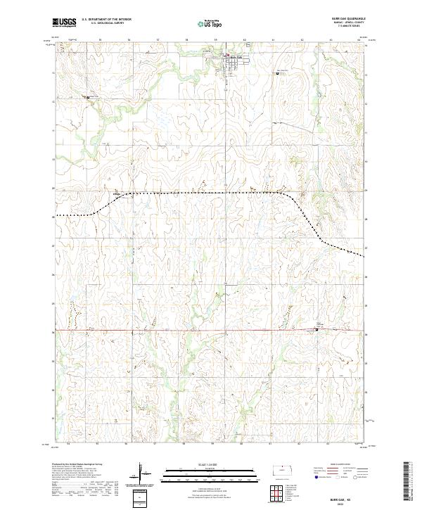
Burr Oak serves as the primary hub of this North Central Kansas landscape, defined by a grid of rural roads and the winding paths of White Rock Cr and Limestone Cr. The map details the residential layout of the town, from Main St to Kansas St, providing a clear view of the community's structure. Southward, the smaller settlement of Otego sits along S Rd, marking a secondary point of activity amidst the agricultural sections.
Find a feature on this map
32 named features on this map. Tap any name to fly to it.
Don’t see what you’re looking for? This feature index may not catch every label — zoom into the map to look around manually.
Map Details
Date Portrayed2022
Date Published2022
PublisherU.S. Geological Survey
Map TypeTopographic
Scale1:24000
Physical Dimensions24 x 29 inches
Editions of this 2022 Burr Oak Map
This is the sole edition of this map. No revisions or reprints were ever made.
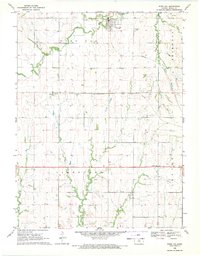
Historical Maps of Otego Through Time
Featured Locations
Source Details
SourceU.S. Geological Survey
CopyrightPublic Domain