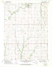
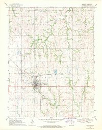
1968 Map of Burr Oak
USGS Topo · Published 1971About this map
Burr Oak serves as the primary hub of this north-central Kansas landscape, situated near the confluence of Burr Oak Creek and the meandering White Rock Creek. In the late 1960s, the region maintained a strong agrarian and industrial character, defined by the heavy infrastructure of the Chicago Rock Island and Pacific railroad, which provided a vital link through Otego and the surrounding townships of Burr Oak, Holmwood, Limestone, and Center. The terrain is etched by several significant watercourses, including Middle Limestone Creek, Porcupine Creek, and Elm Creek, which carve through the plains. Local industry and infrastructure are evidenced by scattered Quarry sites and a prominent Radio Tower. For those researching family history, the map includes the Burr Oak Cem and Lutheran Cem, alongside a network of section-line roads and rural dwellings that characterize the mid-century Midwest.
Find a feature on this map
18 named features on this map. Tap any name to fly to it.
Don’t see what you’re looking for? This feature index may not catch every label — zoom into the map to look around manually.
Map Details
Editions of this 1968 Burr Oak Map
This is the sole edition of this map. No revisions or reprints were ever made.
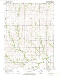
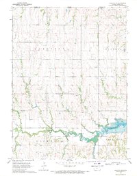
Other maps of this area

1894 · Mankato
USGS Topo · 1:125,000

1955 · Beloit
USGS Topo · 1:250,000

1959 · Beloit
USGS Topo · 1:250,000
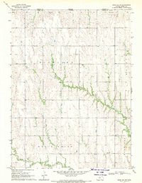
1968 · Burr Oak NW
USGS Topo · 1:24,000
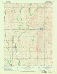
1969 · Ionia
USGS Topo · 1:24,000
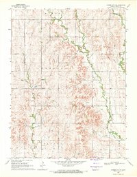
1969 · Cawker City NW
USGS Topo · 1:24,000
1969 · Mankato
USGS Topo · 1:24,000
1969 · North Branch
USGS Topo · 1:24,000
1969 · Mankato NW
USGS Topo · 1:24,000
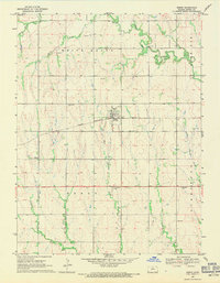
1969 · Esbon
USGS Topo · 1:24,000