1969 Map of Mankato
USGS Topo · Published 1971About this map
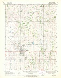
Mankato serves as a central hub in Jewell County during the late 1960s, defined by its position at the intersection of significant midwestern rail lines. The Missouri Pacific and the Chicago Rock Island and Pacific railroads converge here, highlighting the town's importance to regional transport and commerce. The landscape is carved by numerous watercourses including Troublesome Creek, Spring Creek, and the winding Buffalo Creek. Local landmarks like the Golf Club and the Mankato Airport suggest a community with established amenities, while multiple cemeteries such as Mt Hope Cem, Lutheran Cem, and St Theresa Cem provide valuable touchpoints for genealogical research. To the northeast, the East Union Community Hall stands as a marker of rural social organization amidst the sprawling agricultural townships of Holmwood and Richland.
Find a feature on this map
22 named features on this map. Tap any name to fly to it.
Don’t see what you’re looking for? This feature index may not catch every label — zoom into the map to look around manually.
Map Details
Editions of this 1969 Mankato Map
This is the sole edition of this map. No revisions or reprints were ever made.
Other maps of this area

1894 · Mankato
USGS Topo · 1:125,000

1955 · Beloit
USGS Topo · 1:250,000

1959 · Beloit
USGS Topo · 1:250,000
1968 · Burr Oak
USGS Topo · 1:24,000
1969 · Randall
USGS Topo · 1:24,000
1969 · Ionia
USGS Topo · 1:24,000
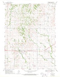
1969 · Montrose
USGS Topo · 1:24,000
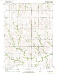
1969 · North Branch
USGS Topo · 1:24,000
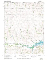
1969 · Mankato NW
USGS Topo · 1:24,000
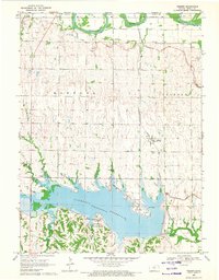
1969 · Webber
USGS Topo · 1:24,000