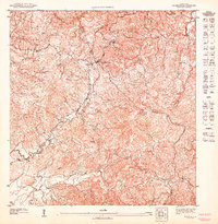
1947 Map of Caguas SO
USGS Topo · Published 1947About this map
High-altitude ridges and deep river valleys define this interior portion of Puerto Rico where the boundaries of Municipio Cidra, Municipio Caguas, and Municipio Cayey converge. The settlement of Las Cruces sits at a critical junction of mountain roads, serving as a landmark along the winding routes through the Cordillera Central. To the northeast, the Capilla del Sagrado Corazon stands near the edge of the survey, while the elevation peaks at Cerro Las Piñas. The map captures the hydrological headwaters of the region, featuring the northern-flowing Rio Bayamon and the southern-trending Rio Guavate, alongside the smaller Rio Clarita. This 1940s topography illustrates a landscape of scattered rural dwellings and agricultural persistence, documented by the Departamento de lo Interior under Comisionado Jorge J. Jiménez.
Find a feature on this map
12 named features on this map. Tap any name to fly to it.
Don’t see what you’re looking for? This feature index may not catch every label — zoom into the map to look around manually.
Map Details
Editions of this 1947 Caguas SO Map
This is the sole edition of this map. No revisions or reprints were ever made.
Other maps of this area

1946 · Patillas
USGS Topo · 1:30,000

1946 · Cayey
USGS Topo · 1:30,000

1946 · Comerio
USGS Topo · 1:30,000

1946 · Caguas
USGS Topo · 1:30,000
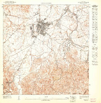
1947 · Caguas NE
USGS Topo · 1:10,000
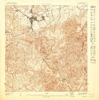
1947 · Cayey NE
USGS Topo · 1:10,000
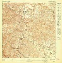
1947 · Comerio SE
USGS Topo · 1:10,000
1947 · Patillas NE
USGS Topo · 1:10,000
1947 · Caguas NO
USGS Topo · 1:10,000
1947 · Patillas NO
USGS Topo · 1:10,000