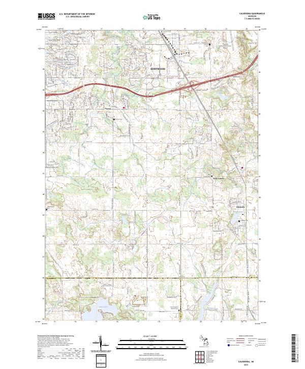
2023 Map of Caledonia
USGS Topo · Published 2023About this map
Kentwood and the neighboring village of Caledonia anchor this West Michigan landscape where the suburban sprawl of the Grand Rapids area meets the agricultural transition into Barry and Allegan counties. The map captures a high degree of cemetery data, which is invaluable for regional genealogy, including the Saint Mary's Catholic Cem and Lakeside Cem. Small crossroads like Dutton and Holy Corners maintain their identity amidst a modern road network defined by a geometric grid of mile roads from 60th St SE down to 108th St SE.
Find a feature on this map
42 named features on this map. Tap any name to fly to it.
Don’t see what you’re looking for? This feature index may not catch every label — zoom into the map to look around manually.
Map Details
Editions of this 2023 Caledonia Map
This is the sole edition of this map. No revisions or reprints were ever made.
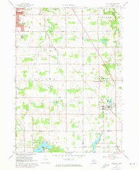
Historical Maps of Caledonia Through Time
Featured Locations
- Cascade Charter Township, MI
- Gaines Charter Township, MI
- Kentwood, MI
- Leighton Township, MI
- Caledonia, Caledonia Charter Township