Loading...
Loading map...2024 Map of Calico Rock
USGS Topo · Published 2024About this map
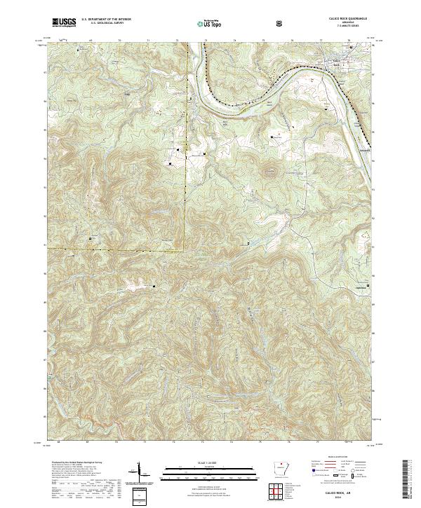
The White River carves a deep path through the northern reaches of the Ozark National Forest, defining the topography where Izard, Stone, and Baxter counties meet. Along its banks, steep elevations like City Rock Bluff and Calico Bluff overlook river features such as Herd Island and Creswell Island. The settlement of Calico Rock serves as a focal point near the northern bend, while smaller communities like Culp and Optimus are scattered across the interior.
Find a feature on this map
79 named features on this map. Tap any name to fly to it.
Don’t see what you’re looking for? This feature index may not catch every label — zoom into the map to look around manually.
Map Details
Date Portrayed2024
Date Published2024
PublisherU.S. Geological Survey
Map TypeTopographic
Scale1:24000
Physical Dimensions24 x 29 inches
Editions of this 2024 Calico Rock Map
This is the sole edition of this map. No revisions or reprints were ever made.
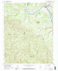
Historical Maps of Calico Rock Through Time
Featured Locations
Source Details
SourceU.S. Geological Survey
CopyrightPublic Domain