Loading...
Loading map...2022 Map of California Hot Springs
USGS Topo · Published 2022About this map
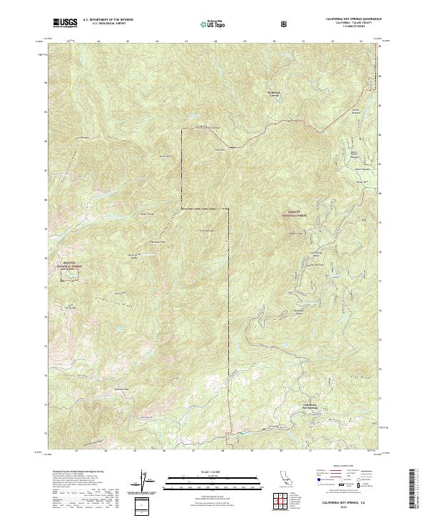
California Hot Springs serves as the focal point of this terrain study in the southern Sequoia National Forest. The landscape is defined by the high ridges of the Sierra Nevada, including Thompson Ridge and Lion Ridge, which separate various drainage basins. High-elevation landmarks such as North Cold Spring Peak and Hatchet Peak overlook a network of seasonal and perennial water sources like Deer Creek and the Tule River.
Find a feature on this map
108 named features on this map. Tap any name to fly to it.
Don’t see what you’re looking for? This feature index may not catch every label — zoom into the map to look around manually.
Map Details
Date Portrayed2022
Date Published2022
PublisherU.S. Geological Survey
Map TypeTopographic
Scale1:24000
Physical Dimensions24 x 29 inches
Editions of this 2022 California Hot Springs Map
This is the sole edition of this map. No revisions or reprints were ever made.
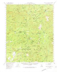
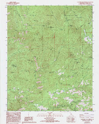
Historical Maps of Pine Flat Through Time
3 maps found
Featured Locations
Source Details
SourceU.S. Geological Survey
CopyrightPublic Domain