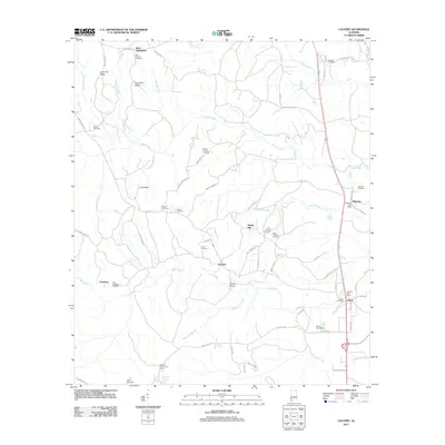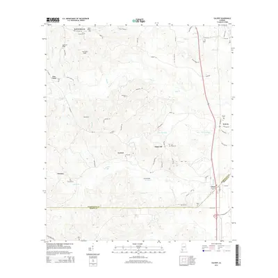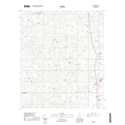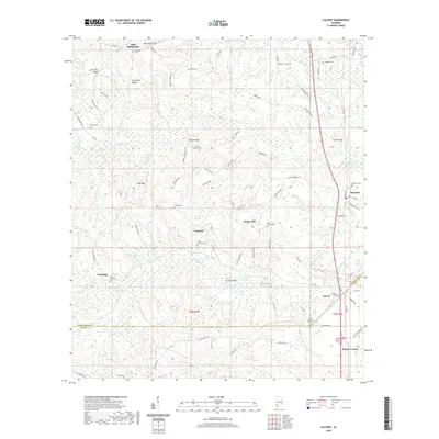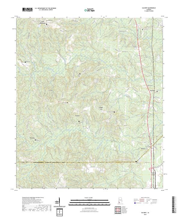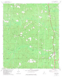
1982 Map of Calvert
USGS Topo · Published 1982About this map
Fairford and the surrounding piney lowlands of the Alabama coastal plain are captured here as they appeared in the early 1980s. This survey details a landscape where small rural settlements like Chestang, Malcolm, and Calvert are tied together by the Burlington Northern and Southern railroads. The area is dense with community anchors, particularly a high concentration of small country churches including Mt Moriah Ch, Our Lady of Sorrows Ch, and Trinity Ch. Industrial activity is evident through numerous sandpits, claypits, and an oil well near the Washington and Mobile County line. Notable landmarks of the era include the Fairford Lookout Tower and a drive-in theater located along the rail corridor, while the terrain is defined by the winding paths of Bilbo Creek and Poll Bayou.
Find a feature on this map
45 named features on this map. Tap any name to fly to it.
Don’t see what you’re looking for? This feature index may not catch every label — zoom into the map to look around manually.
Map Details
Editions of this 1982 Calvert Map
This is the sole edition of this map. No revisions or reprints were ever made.
Historical Maps of Mount Vernon Through Time
6 maps found