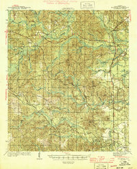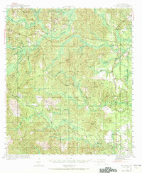
1943 Map of McIntosh
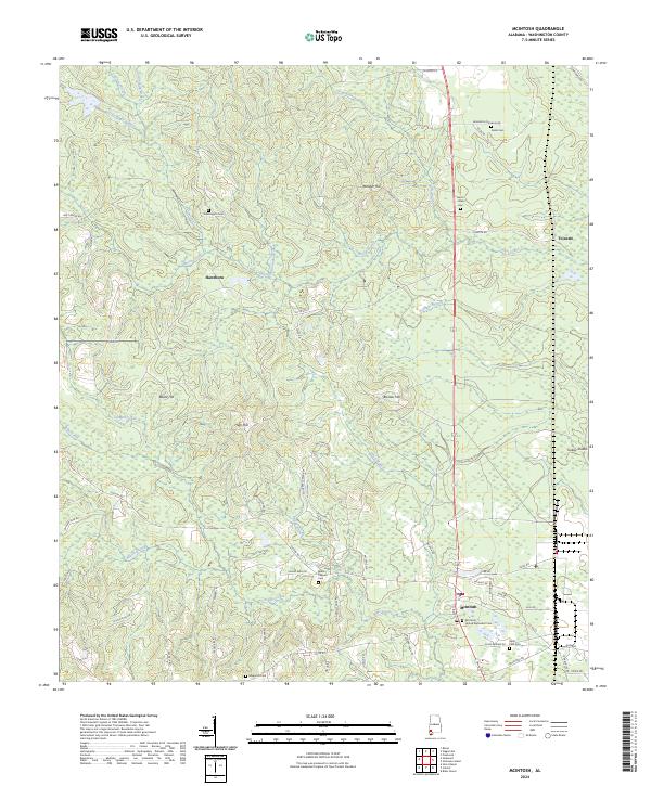
USGS Topo · Published 1972About this map
McIntosh and the surrounding rural landscape of Washington County appear here during the early 1940s, revealing a region defined by its creeks and timber resources. The landscape is dotted with small communities such as Wagarville, Sunflower, and Tibbie, each connected by a network of local roads like Chatom Road and Tennessee Road. The presence of the Turner Fire Tower and extensive marshlands like Bull Hall Swamp and Pasture Swamp emphasize the wooded, low-lying character of the Alabama coastal plain during this era.
Find a feature on this map
59 named features on this map. Tap any name to fly to it.
Don’t see what you’re looking for? This feature index may not catch every label — zoom into the map to look around manually.
Map Details
Editions of this 1943 McIntosh Map
This is the sole edition of this map. No revisions or reprints were ever made.
Historical Maps of Chatom Through Time
7 maps found