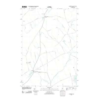
2011 Map of Cambridge
USGS Topo · Published 2011About this map
The Main Stream Sebasticook River meanders through this landscape, providing the central waterway for the village of Cambridge. In this rural Maine setting, the community is anchored by the Cambridge Pond Dam and several historic burial grounds, including Mount Pleasant Cemetery and Memorial Garden Cemetery. To the north, the smaller settlement of Pingree Center sits near its namesake Pingree Pond and Pingree Cemetery.
Find a feature on this map
68 named features on this map. Tap any name to fly to it.
Don’t see what you’re looking for? This feature index may not catch every label — zoom into the map to look around manually.
Map Details
Editions of this 2011 Cambridge Map
This is the sole edition of this map. No revisions or reprints were ever made.
Other maps of this area

1913 · Skowhegan
USGS Topo · 1:62,500

1930 · Pittsfield
USGS Topo · 1:48,000

1932 · Pittsfield
USGS Topo · 1:62,500

1933 · Pittsfield
USGS Topo · 1:62,500

1933 · Guilford
USGS Topo · 1:62,500

1937 · Guilford
USGS Topo · 1:62,500

1948 · Bangor
USGS Topo · 1:250,000

1948 · Kingsbury
USGS Topo · 1:62,500

1950 · Kingsbury
USGS Topo · 1:62,500

1954 · Millinocket
USGS Topo · 1:250,000