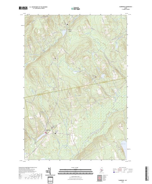
2024 Map of Cambridge
USGS Topo · Published 2024About this map
Cambridge and Pingree Center anchor this rural landscape along the line between Piscataquis and Somerset Counties. The area is defined by the winding course of the Main Stream Sebasticook River, which draws from several tributaries including Ferguson Stream and Pingree Center Stream. For those tracing local families, the map identifies several smaller burial sites such as Tyler Cem, Drew Cem, and Gilbert Cem tucked away off secondary routes like Lander Rd and Smart Rd. The terrain is marked by prominent elevations like Ham Hill and Dorr Hill, while the local economy and transportation are reflected in the Greenfield Hill Airport and the network of namesake roads such as Burdins Corner Rd and Parkman Woods Rd. The landscape transitions from the open waters of Pingree Pond and Ripley Pond to the low-lying reaches of Austin Bog.
Find a feature on this map
69 named features on this map. Tap any name to fly to it.
Don’t see what you’re looking for? This feature index may not catch every label — zoom into the map to look around manually.
Map Details
Editions of this 2024 Cambridge Map
This is the sole edition of this map. No revisions or reprints were ever made.
Other maps of this area

1913 · Skowhegan
USGS Topo · 1:62,500

1930 · Pittsfield
USGS Topo · 1:48,000

1932 · Pittsfield
USGS Topo · 1:62,500

1933 · Pittsfield
USGS Topo · 1:62,500

1933 · Guilford
USGS Topo · 1:62,500

1937 · Guilford
USGS Topo · 1:62,500

1948 · Bangor
USGS Topo · 1:250,000

1948 · Kingsbury
USGS Topo · 1:62,500

1950 · Kingsbury
USGS Topo · 1:62,500

1954 · Millinocket
USGS Topo · 1:250,000