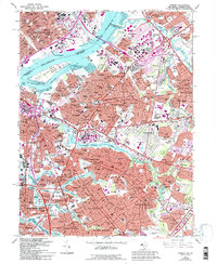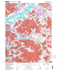
2023 Map of Camden
USGS Topo · Published 2023About this map
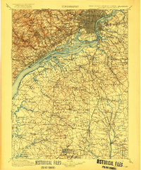
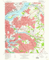
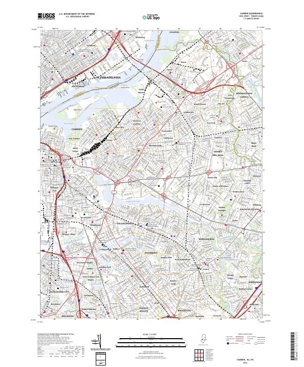
The Delaware River corridor serves as the primary artery for this urban and industrial landscape, separating Philadelphia from the dense residential and commercial developments of Camden. Along the shoreline, Petty Island and the Back Channel anchor a waterfront defined by legacy rail infrastructure and historic neighborhoods such as Pavonia and Cramer Hill. The map detail reveals a high density of civic and religious history, including the Rutgers University Camden campus and several significant cemeteries like Harleigh Cem and the New Camden Cem.
Find a feature on this map
143 named features on this map. Tap any name to fly to it.
Don’t see what you’re looking for? This feature index may not catch every label — zoom into the map to look around manually.
Map Details
Editions of this 2023 Camden Map
This is the sole edition of this map. No revisions or reprints were ever made.
Historical Maps of Ablett Village Through Time
6 maps found