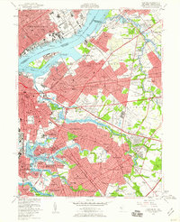
1949 Map of Camden
USGS Topo · Published 1960About this map
The Delaware River serves as the industrial spine of this mid-century landscape, separating the dense grid of Philadelphia from the expanding suburbs and rail yards of Camden. Along the waterfront, the complex maritime infrastructure of Port Richmond and Bridesburg sits opposite the marshes of Petty Island, where wreckage and pilings line the back channel. Inland, the transition from urban centers like Collingswood and Haddonfield to more open terrain is evident, particularly near the Central Airport and the sprawling grounds of Garden State Park. The map reveals a dense network of transportation, dominated by the Pennsylvania Railroad and the Pennsylvania-Reading Seashore Lines, which dictated the growth of neighborhoods like Merchantville and Maple Shade. Significant local landmarks, including Harleigh Cem and Cooper Hospital, provide essential anchors for genealogical research in this post-war New Jersey corridor.
Find a feature on this map
139 named features on this map. Tap any name to fly to it.
Don’t see what you’re looking for? This feature index may not catch every label — zoom into the map to look around manually.
Map Details
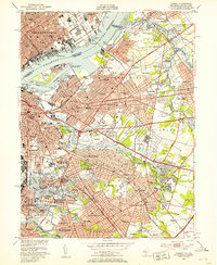
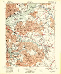
Editions of this 1949 Camden Map
3 editions found
Other maps of this area

1888 · Mount Holly
USGS Topo · 1:62,500

1890 · Burlington
USGS Topo · 1:62,500

1891 · Philadelphia
USGS Topo · 1:62,500

1893 · Germantown
USGS Topo · 1:62,500

1893 · Burlington
USGS Topo · 1:62,500

1894 · Mount Holly
USGS Topo · 1:62,500

1894 · Philadelphia
USGS Topo · 1:62,500

1894 · Germantown
USGS Topo · 1:62,500

1896 · Germantown
USGS Topo · 1:62,500

1896 · Philadelphia
USGS Topo · 1:62,500