1942 Map of Camden
USGS Topo · Published 1942About this map
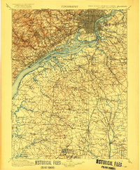
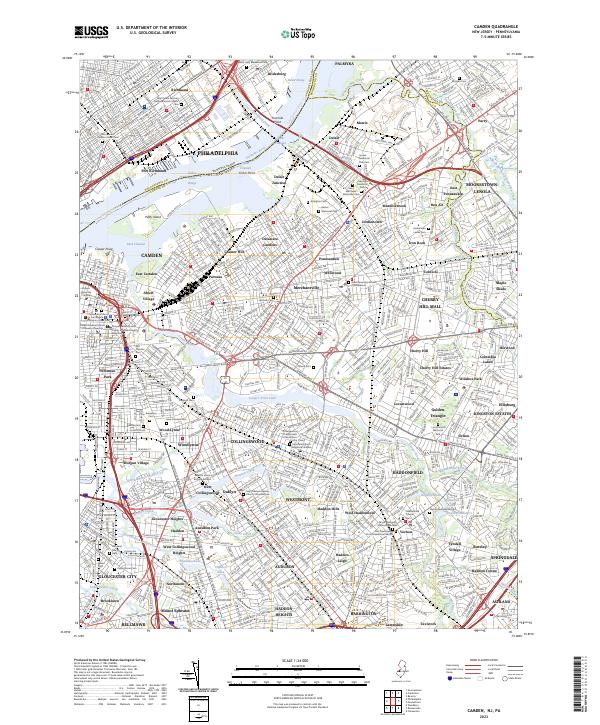
The Delaware River serves as the central artery of this 1942 War Department survey, separating the dense grid of Philadelphia from the industrial waterfront of Camden. At the height of wartime activity, the map details a landscape defined by critical transportation infrastructure, including the Pennsylvania-Reading Seashore Lines and historic thoroughfares like the White Horse Pike and Black Horse Pike. Strategic sites such as Fort Mifflin stand near the confluence of the Schuylkill River, while islands like League Island and Petty Island dot the river channel. Further south and east, the transition from urban centers to established New Jersey townships is evident in the layouts of Gloucester, Woodbury, and Haddonfield. The detailed depiction of numerous tributaries, from Raccoon Creek to Oldmans Creek, illustrates the drainage patterns that shaped the early settlement and agricultural development of Gloucester County and Salem County.
Find a feature on this map
200 named features on this map. Tap any name to fly to it.
Don’t see what you’re looking for? This feature index may not catch every label — zoom into the map to look around manually.
Map Details
Editions of this 1942 Camden Map
This is the sole edition of this map. No revisions or reprints were ever made.
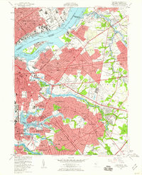
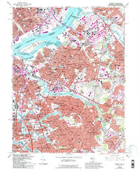
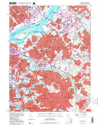
Historical Maps of Fairview Through Time
6 maps found