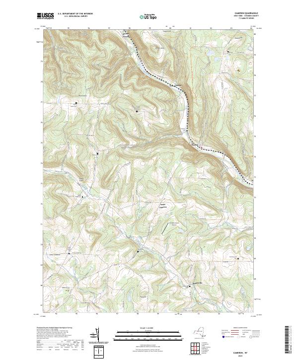
2023 Map of Cameron
USGS Topo · Published 2023About this map
The Canisteo River carves a deep valley through this Steuben County landscape, serving as the primary corridor for the community of Cameron and West Cameron. High above the river valley, the topography is defined by prominent peaks like Oregon Hill and Averell Hill, where a network of family-named roads and remote cemeteries suggests generations of rural settlement. Genealogists will find an exceptional density of burial sites, from the Eight Square Cem near Five Corners to the Boyd Cem along the North Branch Tuscarora Creek. The presence of Randall's Roost Airport near South Cameron and the modern road network, including Co Rte 119 and Co Rte 21, highlights the enduring utility of these valley routes even as upland areas like Mud Hollow remain sparsely populated. This detailed study captures a moment where old hilltop farmsteads and riverside hamlets like Hedgesville persist alongside modern infrastructure.
Find a feature on this map
74 named features on this map. Tap any name to fly to it.
Don’t see what you’re looking for? This feature index may not catch every label — zoom into the map to look around manually.
Map Details
Editions of this 2023 Cameron Map
This is the sole edition of this map. No revisions or reprints were ever made.
Other maps of this area

1910 · Bath
USGS Topo · 1:62,500

1915 · Hornell
USGS Topo · 1:62,500

1918 · Hornell
USGS Topo · 1:62,500

1924 · Woodhull
USGS Topo · 1:48,000

1926 · Woodhull
USGS Topo · 1:62,500

1926 · Greenwood
USGS Topo · 1:62,500

1944 · Woodhull
USGS Topo · 1:62,500

1950 · Elmira
USGS Topo · 1:250,000

1953 · Cameron
USGS Topo · 1:24,000

1953 · Woodhull
USGS Topo · 1:24,000