Loading...
Loading map...2024 Map of Camp Hill
USGS Topo · Published 2024About this map
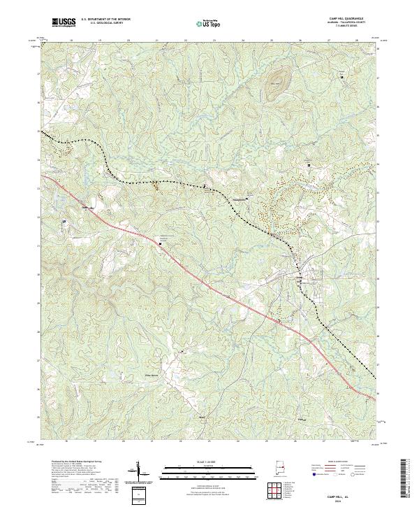
Camp Hill and Dadeville anchor this corner of Tallapoosa County, where the Norfolk Southern line cuts a diagonal path through the Alabama landscape. The area is defined by numerous small family and community burial grounds, including the General Pearson Family Cem and Spring Hill Cem, which offer significant touchstones for genealogical research. The terrain is marked by the prominence of Doss Mtn and a network of creeks like Chattasofka Creek and the North Fork Sandy Creek.
Find a feature on this map
90 named features on this map. Tap any name to fly to it.
Don’t see what you’re looking for? This feature index may not catch every label — zoom into the map to look around manually.
Map Details
Date Portrayed2024
Date Published2024
PublisherU.S. Geological Survey
Map TypeTopographic
Scale1:24000
Physical Dimensions24 x 29 inches
Editions of this 2024 Camp Hill Map
This is the sole edition of this map. No revisions or reprints were ever made.
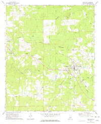
Historical Maps of Agricola Through Time
Featured Locations
Source Details
SourceU.S. Geological Survey
CopyrightPublic Domain