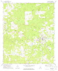
1971 Map of Camp Hill
USGS Topo · Published 1977About this map
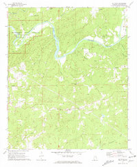
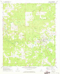
Camp Hill serves as the primary hub on this map, situated where the Central of Georgia Railroad makes a distinct southern bend. The town is marked by institutional landmarks such as the Lyman Ward Military Academy and a local High School, reflecting its role as an educational and community center in this part of Tallapoosa County. To the west, Dadeville appears on the margin, while smaller named settlements like Slaughters, Agricola, and Pine Grove are scattered along the rural road network.
Find a feature on this map
33 named features on this map. Tap any name to fly to it.
Don’t see what you’re looking for? This feature index may not catch every label — zoom into the map to look around manually.
Map Details
Editions of this 1971 Camp Hill Map
2 editions found
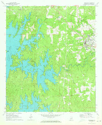
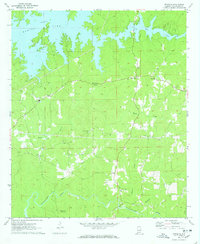
Other maps of this area

1906 · Dadeville
USGS Topo · 1:125,000

1955 · Phenix City
USGS Topo · 1:250,000

1957 · Phenix City
USGS Topo · 1:250,000

1958 · Phenix City
USGS Topo · 1:250,000
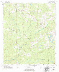
1971 · Waverly
USGS Topo · 1:24,000
1971 · Dadeville
USGS Topo · 1:24,000
1971 · Ponders
USGS Topo · 1:24,000
1971 · Buttston
USGS Topo · 1:24,000
1971 · Camp Hill
USGS Topo · 1:24,000
1971 · Thornton
USGS Topo · 1:24,000