
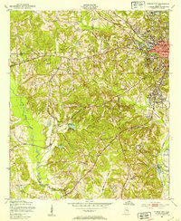
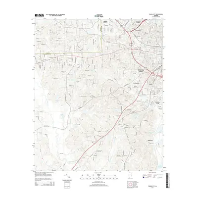
1957 Map of Phenix City
USGS Topo · Published 1957About this map
The Chattahoochee River serves as the central artery of this mid-century landscape, marking the boundary between Alabama and Georgia. At the heart of the region, the industrial and military hubs of Phenix City and Columbus anchor the riverbanks, sitting just north of the expansive Fort Benning Military Reservation. To the west, the Tallapoosa River flows through a series of smaller settlements including Alexander City and Tallassee, while the higher elevations of Pine Mountain and Oak Mountain rise to the northeast near Franklin D Roosevelt State Park. This survey captures the post-war expansion of textile towns like Lanett, Langdale, and Riverview along the river, alongside the academic and commercial growth of Auburn and Opelika.
Find a feature on this map
52 named features on this map. Tap any name to fly to it.
Don’t see what you’re looking for? This feature index may not catch every label — zoom into the map to look around manually.
Map Details
Editions of this 1957 Phenix City Map
This is the sole edition of this map. No revisions or reprints were ever made.
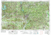
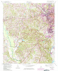
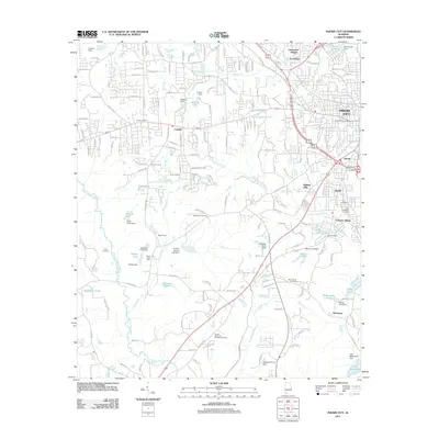
Historical Maps of Columbus Through Time
10 maps found
1950 Phenix City
Russell County, AL
1955 Phenix City
Russell County, AL
1955 Phenix City
Russell County, AL
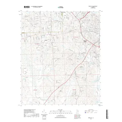
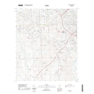
1957 Phenix City
Russell County, AL

1958 Phenix City
Russell County, AL
2011 Phenix City
Russell County, AL
2014 Phenix City
Russell County, AL
2018 Phenix City
Russell County, AL
2020 Phenix City
Russell County, AL
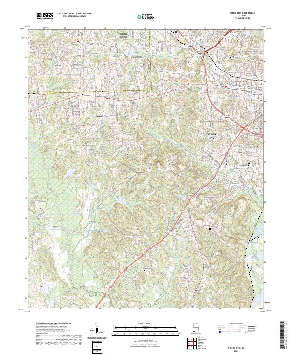
2024 Phenix City
Russell County, AL