
1971 Map of Thornton
USGS Topo · Published 1973About this map
Thornton and Roxana sit at the center of this rural landscape, which is defined by the winding drainages of the Tallapoosa and Lee County line in the early 1970s. The map captures a community built around a network of country churches and crossroads, including Simmons Crossroads and the Antioch Ch. Most of the area's social history is anchored by these small congregations and cemeteries, such as New Hope Cem Ch and Shiloh Cem, which served the scattered farmsteads of the region. A significant portion of the northwest corner is influenced by the waters of Martin Lake, while the southern reaches are drained by Sougahatchee Cr. The land use is primarily agricultural or undeveloped timberland, punctuated by small features like a Gravel Pit and a Water Tank, reflecting the quiet, rural character of the Alabama interior before modern suburban expansion reached this far.
Find a feature on this map
24 named features on this map. Tap any name to fly to it.
Don’t see what you’re looking for? This feature index may not catch every label — zoom into the map to look around manually.
Map Details
Editions of this 1971 Thornton Map
This is the sole edition of this map. No revisions or reprints were ever made.
Other maps of this area

1906 · Dadeville
USGS Topo · 1:125,000

1955 · Phenix City
USGS Topo · 1:250,000

1957 · Phenix City
USGS Topo · 1:250,000

1958 · Phenix City
USGS Topo · 1:250,000

1971 · Waverly
USGS Topo · 1:24,000
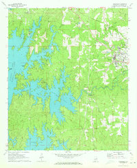
1971 · Dadeville
USGS Topo · 1:24,000

1971 · Ponders
USGS Topo · 1:24,000

1971 · Carrville
USGS Topo · 1:24,000

1971 · Loachapoka
USGS Topo · 1:24,000
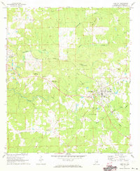
1971 · Camp Hill
USGS Topo · 1:24,000