
1971 Map of Loachapoka
USGS Topo · Published 1973About this map
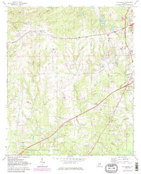
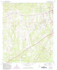
The Western Railway of Alabama corridors through this landscape, anchoring the settlement of Loachapoka and providing a transport spine for this rural stretch of East Alabama. The 1971 aerial data reveals a community structure heavily influenced by small crossroads and country congregations, including St Matthew Ch, Mount Vernon Ch, and Armstrong Ch. The northern portion is defined by the winding course of Sougahatchee Cr, while the southern reaches descend into the wooded tracts of the Tuskegee National Forest. Along the county line between Lee and Macon, numerous Gravel Pits suggest the area's local extractive industry. Genealogists will find the Loachapoka Cem and several other small burial sites marked across the terrain, reflecting the long-standing family foundations in the Beehive and Pleasant View areas.
Find a feature on this map
30 named features on this map. Tap any name to fly to it.
Don’t see what you’re looking for? This feature index may not catch every label — zoom into the map to look around manually.
Map Details
Editions of this 1971 Loachapoka Map
3 editions found
Other maps of this area

1906 · Dadeville
USGS Topo · 1:125,000

1907 · Opelika
USGS Topo · 1:125,000

1909 · Opelika
USGS Topo · 1:125,000

1955 · Phenix City
USGS Topo · 1:250,000

1957 · Phenix City
USGS Topo · 1:250,000

1958 · Phenix City
USGS Topo · 1:250,000

1971 · Waverly
USGS Topo · 1:24,000

1971 · Little Texas
USGS Topo · 1:24,000
1971 · Opelika West
USGS Topo · 1:24,000

1971 · Tuskegee
USGS Topo · 1:24,000