
1971 Map of Tuskegee
USGS Topo · Published 1973About this map
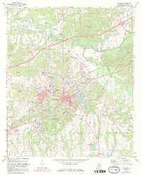
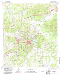
Tuskegee Institute and the adjacent town center serve as the primary focus of this early 1970s survey, documenting a landscape deeply tied to educational and civic development. The campus is shown in high detail alongside institutional landmarks like the Veterans Hospital and Moton Field. Settlement patterns extend north to Chehaw along the Western Railway of Alabama, while the eastern portion of the map is dominated by the wooded expanse of the Tuskegee National Forest. Numerous neighborhood churches and cemeteries, such as Daniels Chapel, Ashdale Cem, and Greenwood Cem, provide vital landmarks for genealogists. The terrain is defined by the winding paths of Uphapee Creek and Choctahatchee Creek, illustrating the natural drainage system that influenced the positioning of local waterworks and the City Lake reservoir.
Find a feature on this map
42 named features on this map. Tap any name to fly to it.
Don’t see what you’re looking for? This feature index may not catch every label — zoom into the map to look around manually.
Map Details
Editions of this 1971 Tuskegee Map
3 editions found
Other maps of this area

1906 · Dadeville
USGS Topo · 1:125,000

1955 · Phenix City
USGS Topo · 1:250,000

1957 · Phenix City
USGS Topo · 1:250,000

1958 · Phenix City
USGS Topo · 1:250,000

1971 · Little Texas
USGS Topo · 1:24,000

1971 · Carrville
USGS Topo · 1:24,000

1971 · Loachapoka
USGS Topo · 1:24,000
1971 · Notasulga
USGS Topo · 1:24,000

1971 · La Place
USGS Topo · 1:24,000

1971 · Hardaway
USGS Topo · 1:24,000