Old Maps of Franklin, Alabama
Explore 17 old maps of Franklin, spanning from 1955 to today. These high-resolution historic maps reveal how streets, neighborhoods, landmarks, and natural features evolved over time — perfect for genealogy, metal detecting, research, and local history exploration.
What you can do with these maps:
- See how Franklin changed over time: Compare historical maps to modern-day views to trace roads, homesites, rail lines & more.
- View detailed metadata: Each map includes creators, publishers, year, scale, and archive source.
- Overlay maps with satellite & LiDAR: Visualize the past alongside modern tools to explore terrain & human change.
- Trusted historical sources: Maps sourced from the USGS, Library of Congress, and other archives.
- Access maps your way: View online, download high-res files, or order prints for personal or research use.
Start exploring old maps of Franklin to uncover forgotten places, hidden landmarks, and the deep history beneath your feet.
Franklin, AL maps
(17)- 1955 Map of Phenix City, 1964 Print
 1955 Phenix City1964 Print · USGSPost-war Alabama and Georgia meet along the Chattahoochee River as industry and military installations expand. Trace the rail lines of the Central of Georgia through towns like Opelika, Tuskegee, and Alexander City.3 unique versions available
 - 1957 Map of Phenix City
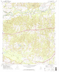
 1957 Phenix City1957 Print · USGSThe Alabama-Georgia borderlands are captured here in the mid-fifties, centered on the bustling river crossing at Phenix City and Columbus. Researchers can trace the mid-century footprint of the Fort Benning Military Reservation or locate smaller textile and railroad towns like Langdale and Camp Hill.
 - 1958 Map of Phenix City
 1958 Phenix City1958 Print · USGSThe Alabama-Georgia borderlands thrive during the late fifties, anchored by the river-driven industry of Columbus and Phenix City. Researchers can trace the mid-century footprints of Fort Benning, Auburn, and the textile towns of Fairfax and Lanett.
 - 1971 Map of Tuskegee, 1973 Print
 1971 Tuskegee1973 Print · USGSTuskegee and its famed institute are documented here in the early 1970s, showcasing a period of significant institutional and civic growth. Researchers can locate specific sites from the Tuskegee Institute campus to the Veterans Hospital and Moton Field.3 unique versions available
 - 1971 Map of La Place, 1973 Print
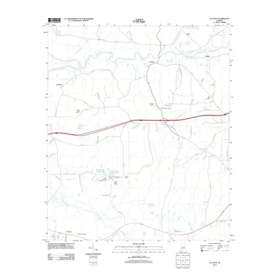
 1971 La Place1973 Print · USGSMacon County in the early seventies shows a landscape where military history and rural tradition meet along the Tallapoosa River. Researchers can locate the Tuskegee Air Force Base and numerous family churches like Bradford Chapel and Elam Ch.2 unique versions available
 - 1981 Map of Tuskegee, 1982 Print
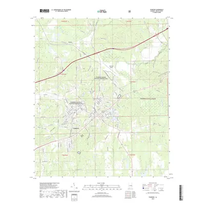
 1981 Tuskegee1982 Print · USGSMacon and Bullock counties are captured here in the early eighties, showcasing a landscape deeply tied to the railroad and the legacies of Tuskegee Institute. Researchers can locate specific sites from Moton Field to rural settlements along the Seaboard Coast Line like Hurtsboro and Pittsview.2 unique versions available
 - 1998 Map of Tuskegee, 2001 Print
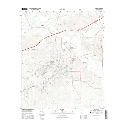
 1998 Tuskegee2001 Print · USGSTuskegee and the nearby national forest lands are shown here in the late nineties, documenting a landscape of deep educational and civic history. Researchers can trace the grounds of the Tuskegee Institute, locate Moton Field, and find family sites like Greenwood Cem.
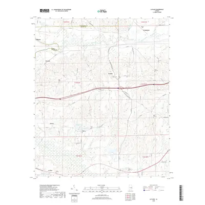
 - 2011 Map of La Place, 2011 Print
 2011 La Place2011 Print · USGSCovers Franklin, including Tuskegee, Tallassee, and other nearby areas
 - 2011 Map of Tuskegee, 2011 Print
 2011 Tuskegee2011 Print · USGSCovers Franklin, including Tuskegee, Seasha, and other nearby areas
 - 2014 Map of La Place, 2014 Print
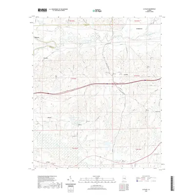
 2014 La Place2014 Print · USGSCovers Franklin, including Tuskegee, Tallassee, and other nearby areas
 - 2014 Map of Tuskegee, 2014 Print
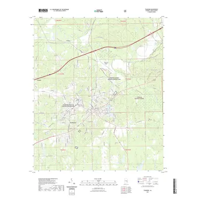
 2014 Tuskegee2014 Print · USGSCovers Franklin, including Tuskegee, Seasha, and other nearby areas
 - 2018 Map of Tuskegee, 2018 Print
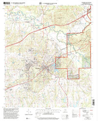
 2018 Tuskegee2018 Print · USGSCovers Franklin, including Tuskegee, Seasha, and other nearby areas
 - 2018 Map of La Place, 2018 Print
 2018 La Place2018 Print · USGSCovers Franklin, including Tuskegee, Tallassee, and other nearby areas
 - 2020 Map of La Place, 2020 Print
 2020 La Place2020 Print · USGSCovers Franklin, including Tuskegee, Tallassee, and other nearby areas
 - 2021 Map of Tuskegee, 2021 Print
 2021 Tuskegee2021 Print · USGSCovers Franklin, including Tuskegee, Seasha, and other nearby areas
 - 2024 Map of Tuskegee, 2024 Print
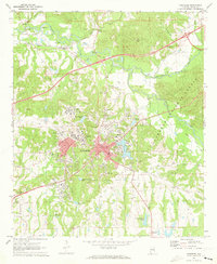
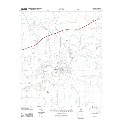
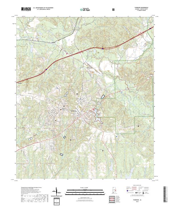 2024 Tuskegee2024 Print · USGSTuskegee and the surrounding Macon County countryside are captured here in the early twenty-first century. Researchers can trace the layout of Tuskegee University, find local burial grounds like Greenwood Cem, or locate the Tuskegee Airmen National Historic Site.
 - 2024 Map of La Place, 2024 Print
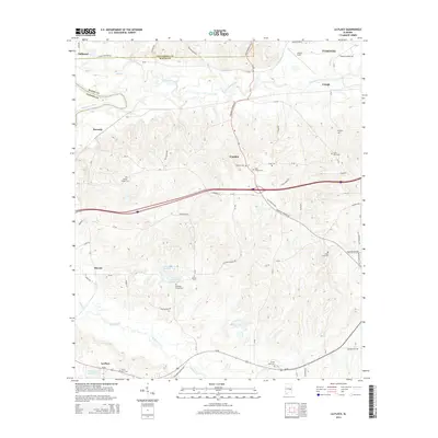
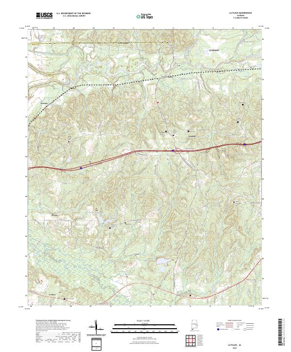 2024 La Place2024 Print · USGSTuskegee and the rural communities of Macon County are detailed here in the 2020s, showing a landscape defined by the Tallapoosa River and local family history. Researchers can trace the locations of numerous community landmarks like Walker Chapel Cem, Shorter, and Zion Cem.
End of results
Showing maps 1-17 of 17
Top cities near Franklin
- Auburn historical maps
- Pike Road historical maps
- Tuskegee historical maps
- Tallassee historical maps
- Eclectic historical maps
- Notasulga historical maps
See more
Frequently asked questions
- What are the different types of historical maps available for Franklin?
- What is the oldest map of Franklin?
- Where can I purchase historical maps of Franklin for my home or office?
- Where can I download high-res historical maps of Franklin?
- Are there historical topographic maps available for Franklin?
- Is there historical aerial imagery available for Franklin?
- Where are historical maps of Franklin sourced from?