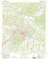
1971 Map of Tuskegee
USGS Topo · Published 1984About this map
Tuskegee is documented here during a period of significant growth and institutional development, centered around the sprawling campus of the Tuskegee Institute. The map captures the city's complex infrastructure, including the Veterans Hospital complex and the educational hub at Tuskegee Institute High Sch. Aviation history is present at Moton Field to the north, while the city's civic core is marked by the central Courthouse and the County Hospital near City Lake.
Find a feature on this map
40 named features on this map. Tap any name to fly to it.
Don’t see what you’re looking for? This feature index may not catch every label — zoom into the map to look around manually.
Map Details
Editions of this 1971 Tuskegee Map
3 editions found
Other maps of this area

1906 · Dadeville
USGS Topo · 1:125,000

1955 · Phenix City
USGS Topo · 1:250,000

1957 · Phenix City
USGS Topo · 1:250,000

1958 · Phenix City
USGS Topo · 1:250,000

1971 · Little Texas
USGS Topo · 1:24,000

1971 · Carrville
USGS Topo · 1:24,000

1971 · Loachapoka
USGS Topo · 1:24,000

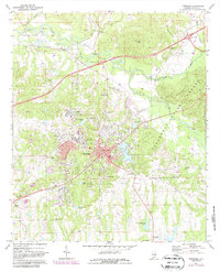
1971 · Tuskegee
USGS Topo · 1:24,000
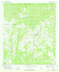
1971 · Notasulga
USGS Topo · 1:24,000

1971 · La Place
USGS Topo · 1:24,000