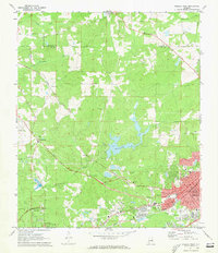
1971 Map of Opelika West
USGS Topo · Published 1973About this map
Opelika and the northern outskirts of Auburn serve as the primary hubs in this early 1970s survey of eastern Alabama. The landscape is defined by the corridors of the Central of Georgia Railway and the Western Railway of Alabama, which converge near the industrial and residential core of Pepperell. The mapping reveals a transition from the urban grid of the county seat to the rural hinterlands of the Chambers Co and Lee Co border, where smaller settlements like Stonewall and landmarks like The Bottle punctuate the rolling terrain.
Find a feature on this map
44 named features on this map. Tap any name to fly to it.
Don’t see what you’re looking for? This feature index may not catch every label — zoom into the map to look around manually.
Map Details
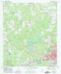
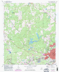
Editions of this 1971 Opelika West Map
3 editions found
Other maps of this area

1906 · Dadeville
USGS Topo · 1:125,000

1907 · Opelika
USGS Topo · 1:125,000

1909 · Opelika
USGS Topo · 1:125,000

1955 · Phenix City
USGS Topo · 1:250,000

1957 · Phenix City
USGS Topo · 1:250,000

1958 · Phenix City
USGS Topo · 1:250,000

1970 · Opelika East
USGS Topo · 1:24,000

1971 · Waverly
USGS Topo · 1:24,000

1971 · Parkers Crossroads
USGS Topo · 1:24,000
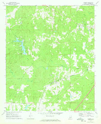
1971 · Cusseta
USGS Topo · 1:24,000