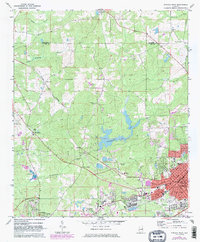
1971 Map of Opelika West
USGS Topo · Published 1983About this map
The transition from rural Lee County to the industrial and commercial hubs of Opelika and Auburn is clearly visible in this early 1970s record. The eastern edge of the map is dominated by the dense street grid of Opelika, including neighborhoods along Staley Ave and Geneva St, while the western periphery remains largely pastoral with small communities like Stonewall, Aubrey, and the curiously named The Bottle. The industrial character of the era is evidenced by the presence of Pepperell and its associated Pepperell Sch, reflecting the mill-town origins of the local economy.
Find a feature on this map
55 named features on this map. Tap any name to fly to it.
Don’t see what you’re looking for? This feature index may not catch every label — zoom into the map to look around manually.
Map Details
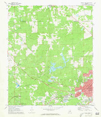
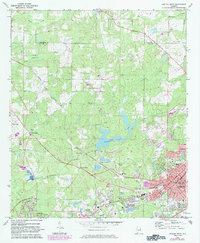
Editions of this 1971 Opelika West Map
3 editions found
Other maps of this area

1906 · Dadeville
USGS Topo · 1:125,000

1907 · Opelika
USGS Topo · 1:125,000

1909 · Opelika
USGS Topo · 1:125,000

1955 · Phenix City
USGS Topo · 1:250,000

1957 · Phenix City
USGS Topo · 1:250,000

1958 · Phenix City
USGS Topo · 1:250,000

1970 · Opelika East
USGS Topo · 1:24,000

1971 · Waverly
USGS Topo · 1:24,000

1971 · Parkers Crossroads
USGS Topo · 1:24,000
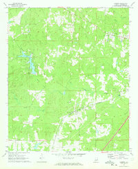
1971 · Cusseta
USGS Topo · 1:24,000