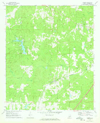
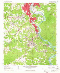
1971 Map of Cusseta
USGS Topo · Published 1973About this map
Cusseta and the surrounding Chambers County hill country are defined by a network of creeks and the historical path of the Western Railway of Alabama. This survey captures the rural character of the region in the early 1970s, where small community hubs like Tuckersburg are centered around local institutions such as Galilee Ch. The landscape is etched with numerous watercourses, including Osanippa Creek, Wildcat Creek, and Boyds Creek, which shaped early land use and settlement patterns long before the development of Chambers County State Lake. Local education and faith are represented by the Cusseta Sch and several country churches like Osanippa Ch and Harrington Heights Ch. For genealogists, the map is particularly valuable for its documentation of family burial sites and memorial grounds, including Mt Nebo Cem and Rest Haven Memorial Gardens Cemetery.
Find a feature on this map
21 named features on this map. Tap any name to fly to it.
Don’t see what you’re looking for? This feature index may not catch every label — zoom into the map to look around manually.
Map Details
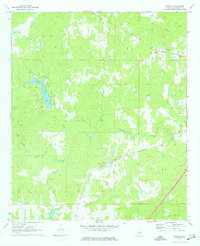
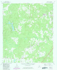
Editions of this 1971 Cusseta Map
3 editions found
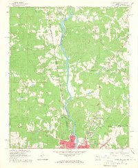
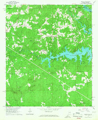
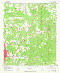
Other maps of this area

1907 · Opelika
USGS Topo · 1:125,000

1909 · Opelika
USGS Topo · 1:125,000

1955 · Phenix City
USGS Topo · 1:250,000

1957 · Phenix City
USGS Topo · 1:250,000

1958 · Phenix City
USGS Topo · 1:250,000
1964 · Lanett North
USGS Topo · 1:24,000
1964 · Lanett South
USGS Topo · 1:24,000
1965 · Beulah
USGS Topo · 1:24,000
1970 · Opelika East
USGS Topo · 1:24,000
1971 · Moorefield
USGS Topo · 1:24,000