
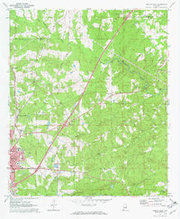
1970 Map of Opelika East
USGS Topo · Published 1973About this map
Opelika and its industrial eastern outskirts are documented in this 1970 survey, capturing a landscape defined by the intersection of the Central of Georgia Railway and the Western Railway of Alabama. The town's growth is evident in its educational institutions, including the State Vocational Technical Institute, Darden High Sch, and Hallie Turner Sch. To the north, the small settlement of Mt Jefferson sits near the crossing of Halawake Creek, while the rural surroundings are dotted with country landmarks like Beans Mill and Scott Cem.
Find a feature on this map
34 named features on this map. Tap any name to fly to it.
Don’t see what you’re looking for? This feature index may not catch every label — zoom into the map to look around manually.
Map Details
Editions of this 1970 Opelika East Map
4 editions found
Other maps of this area

1907 · Opelika
USGS Topo · 1:125,000

1909 · Opelika
USGS Topo · 1:125,000

1955 · Phenix City
USGS Topo · 1:250,000

1957 · Phenix City
USGS Topo · 1:250,000

1958 · Phenix City
USGS Topo · 1:250,000

1964 · Lanett South
USGS Topo · 1:24,000
1965 · Bleecker
USGS Topo · 1:24,000
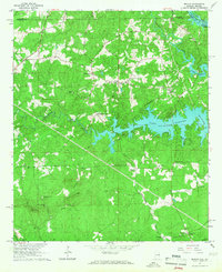
1965 · Beulah
USGS Topo · 1:24,000

1971 · Parkers Crossroads
USGS Topo · 1:24,000
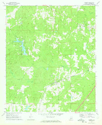
1971 · Cusseta
USGS Topo · 1:24,000