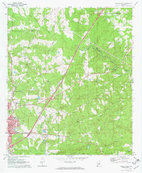
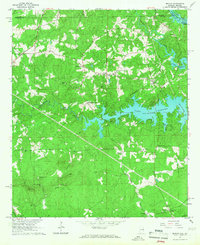
1970 Map of Opelika East
USGS Topo · Published 1973About this map
The Central of Georgia Railway cuts a prominent diagonal across this landscape, serving as a primary corridor for the industrial and educational expansion of eastern Alabama. Near the rail lines, the State Vocational Technical Institute and Darden High Sch represent the era's focus on regional development. This survey captures a mix of established community hubs like Mt Jefferson and industrial sites such as Beans Mill and several gravel pits, illustrating the transition from rural land use to more structured urban infrastructure.
Find a feature on this map
31 named features on this map. Tap any name to fly to it.
Don’t see what you’re looking for? This feature index may not catch every label — zoom into the map to look around manually.
Map Details
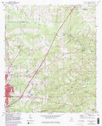
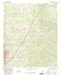
Editions of this 1970 Opelika East Map
4 editions found
Other maps of this area

1907 · Opelika
USGS Topo · 1:125,000

1909 · Opelika
USGS Topo · 1:125,000

1955 · Phenix City
USGS Topo · 1:250,000

1957 · Phenix City
USGS Topo · 1:250,000

1958 · Phenix City
USGS Topo · 1:250,000

1964 · Lanett South
USGS Topo · 1:24,000
1965 · Bleecker
USGS Topo · 1:24,000
1965 · Beulah
USGS Topo · 1:24,000

1970 · Opelika East
USGS Topo · 1:24,000

1971 · Parkers Crossroads
USGS Topo · 1:24,000