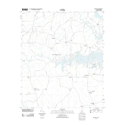
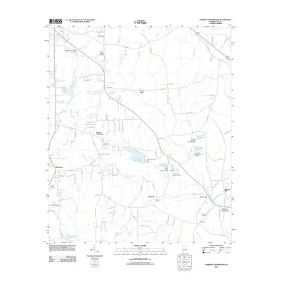
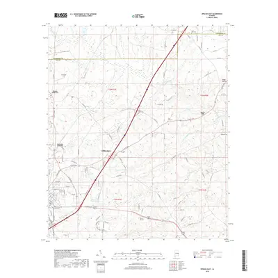
1970 Map of Opelika East
USGS Topo · Published 1984About this map
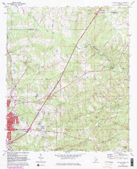
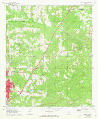
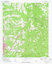
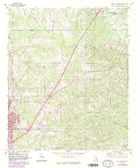
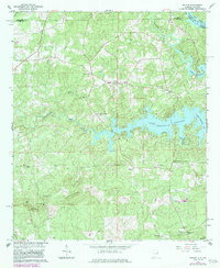
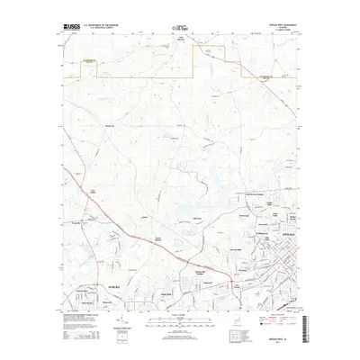
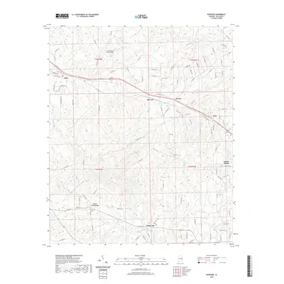
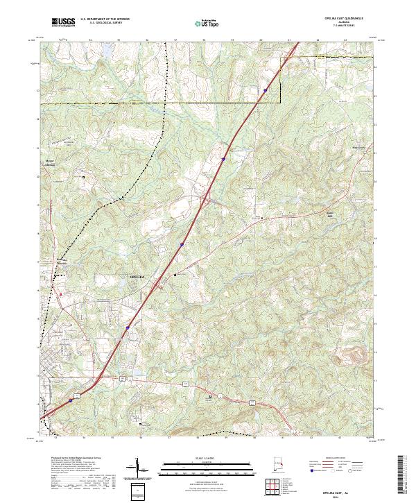
Opelika anchors the southwestern corner of this survey, showing a landscape defined by its evolution as a regional transportation hub. The city's growth is traced through its industrial and educational infrastructure, from the Central of Georgia and Seaboard Coast Line railroads to the State Vocational Technical Institute and Darden High Sch. Beyond the urban center, the terrain transitions into the agricultural and rural stretches of Lee and Chambers counties, where small communities like Mt Jefferson and Pine Grove are centered around local landmarks like St Mark Ch and Beans Mill. The presence of numerous rural churches, such as Haphzibah Ch and Ridge Grove Ch, reflects the established social fabric of these outlying areas. Water features like Halawakee Creek and Wacoochee Creek wind through the topography, while the newly constructed interstate system, marked by Interchange 64 and others, signals the shifting transit patterns of the late twentieth century.
Find a feature on this map
35 named features on this map. Tap any name to fly to it.
Don’t see what you’re looking for? This feature index may not catch every label — zoom into the map to look around manually.
Map Details
Editions of this 1970 Opelika East Map
4 editions found
Historical Maps of Opelika Through Time
30 maps found
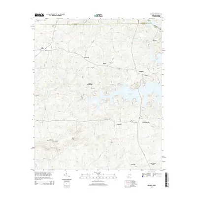
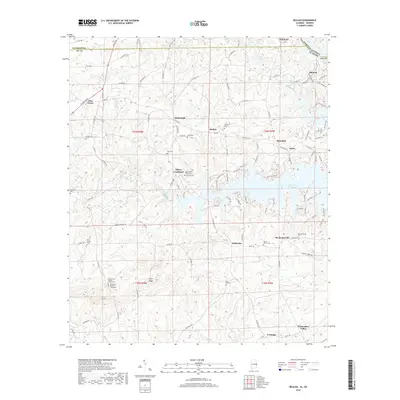
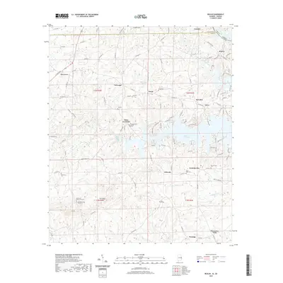
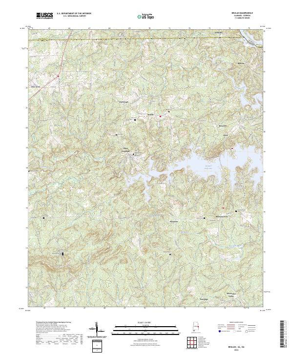
1965 Beulah
Lee County, AL
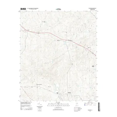
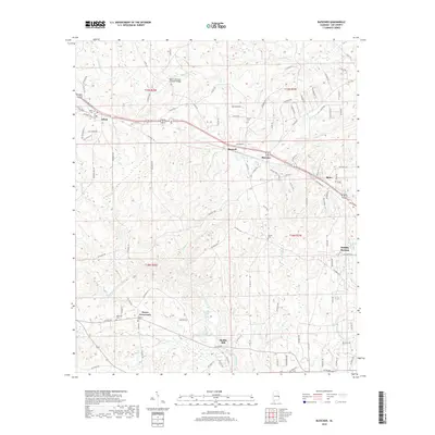
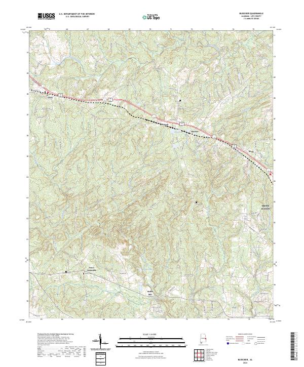
1965 Bleecker
Lee County, AL
1970 Opelika East
Lee County, AL
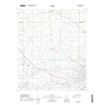
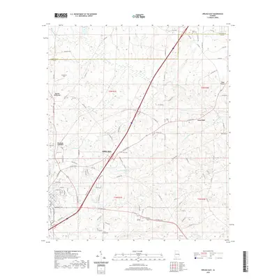
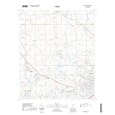
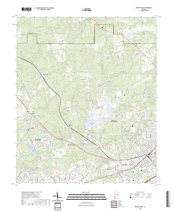
1971 Opelika West
Lee County, AL
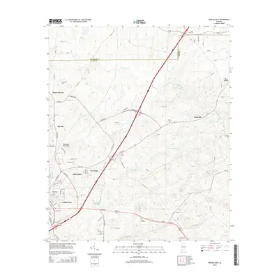
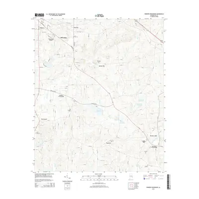
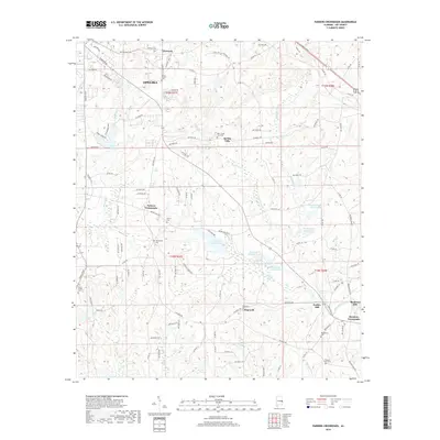
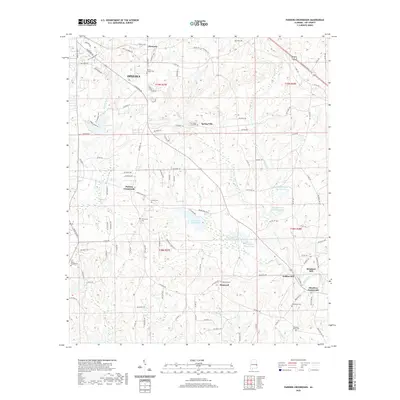
1971 Parkers Crossroads
Lee County, AL
2011 Beulah
Lee County, AL
2011 Bleecker
Lee County, AL
2011 Opelika East
Lee County, AL
2011 Opelika West
Lee County, AL
2011 Parkers Crossroads
Lee County, AL
2014 Beulah
Lee County, AL
2014 Bleecker
Lee County, AL
2014 Opelika East
Lee County, AL
2014 Opelika West
Lee County, AL
2014 Parkers Crossroads
Lee County, AL
2018 Beulah
Lee County, AL
2018 Bleecker
Lee County, AL
2018 Opelika East
Lee County, AL
2018 Opelika West
Lee County, AL
2018 Parkers Crossroads
Lee County, AL
2020 Beulah
Lee County, AL
2020 Bleecker
Lee County, AL
2020 Opelika East
Lee County, AL
2020 Opelika West
Lee County, AL
2020 Parkers Crossroads
Lee County, AL
2024 Beulah
Lee County, AL
2024 Bleecker
Lee County, AL
2024 Opelika East
Lee County, AL
2024 Opelika West
Lee County, AL
2024 Parkers Crossroads
Lee County, AL