Loading...
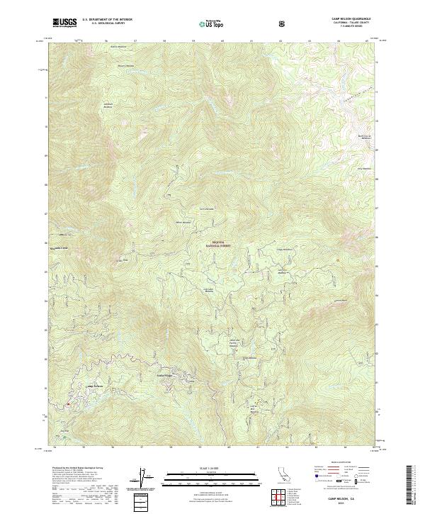
Loading map...2021 Map of Camp Nelson
USGS Topo · Published 2021About this map
Sequoia National Forest encompasses this high-elevation landscape, where small mountain communities like Camp Nelson and Sequoia Crest are established among a complex network of meadows and peaks. The drainage patterns of the S Fork Middle Fork Tule River and the Little Kern River define the local topography, punctuated by prominent landmarks such as Jordan Peak and Hermit Rock.
Find a feature on this map
52 named features on this map. Tap any name to fly to it.
Don’t see what you’re looking for? This feature index may not catch every label — zoom into the map to look around manually.
Map Details
Date Portrayed2021
Date Published2021
PublisherU.S. Geological Survey
Map TypeTopographic
Scale1:24000
Physical Dimensions24 x 29 inches
Editions of this 2021 Camp Nelson Map
This is the sole edition of this map. No revisions or reprints were ever made.
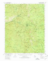
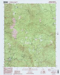
Historical Maps of Cedar Slope Through Time
3 maps found
Featured Locations
Source Details
SourceU.S. Geological Survey
CopyrightPublic Domain