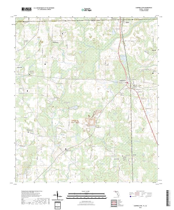
2024 Map of Campbellton
USGS Topo · Published 2024About this map
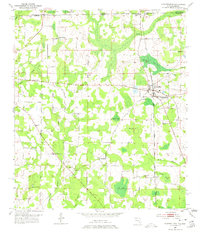
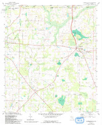
Campbellton serves as a central junction where several regional routes converge in this Jackson County landscape, just south of the Alabama-Florida state line. The area exhibits a pattern of small agricultural settlements and dispersed homesteads linked by an extensive network of named local roads such as Shiloh Church Loop and Piney Woods Rd. The spiritual and communal history of the region is anchored by numerous denominational sites, including the Saint Mary Missionary Baptist Church near Jacob City and the Saint Paul A M E Church east of the main settlement.
Find a feature on this map
100 named features on this map. Tap any name to fly to it.
Don’t see what you’re looking for? This feature index may not catch every label — zoom into the map to look around manually.
Map Details
Editions of this 2024 Campbellton Map
This is the sole edition of this map. No revisions or reprints were ever made.
Historical Maps of Ellaville Through Time
3 maps found