Loading...
Loading map...2022 Map of Campo
USGS Topo · Published 2022About this map
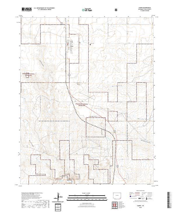
Campo serves as the primary settlement hub in this part of Baca County, situated along the north-south transit corridor of U.S. Route 287. The township is laid out with a small grid of streets including Oak St, Maple St, and Walnut St, with the Campo Cem located to the east. Much of the surrounding landscape is preserved within the Comanche National Grassland, characterized by a complex network of drainage systems such as Murray Draw, Burrows Draw, and the winding Aubrey Cr.
Find a feature on this map
32 named features on this map. Tap any name to fly to it.
Don’t see what you’re looking for? This feature index may not catch every label — zoom into the map to look around manually.
Map Details
Date Portrayed2022
Date Published2022
PublisherU.S. Geological Survey
Map TypeTopographic
Scale1:24000
Physical Dimensions24 x 29 inches
Editions of this 2022 Campo Map
This is the sole edition of this map. No revisions or reprints were ever made.
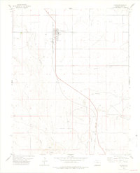
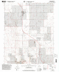
Historical Maps of Campo Through Time
Featured Locations
Source Details
SourceU.S. Geological Survey
CopyrightPublic Domain