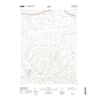
2019 Map of Canisteo
USGS Topo · Published 2019About this map
Canisteo and the winding Canisteo River valley define the layout of this Steuben County landscape, where the river serves as a corridor for the village and neighboring Canisteo Center. The surrounding uplands are marked by significant elevation changes at Tobes Hill and Burt Hill, connected by a network of rural roads that often follow the natural drainage of Colonel Bills Creek and Bennetts Creek.
Find a feature on this map
101 named features on this map. Tap any name to fly to it.
Don’t see what you’re looking for? This feature index may not catch every label — zoom into the map to look around manually.
Map Details
Editions of this 2019 Canisteo Map
This is the sole edition of this map. No revisions or reprints were ever made.
Other maps of this area

1910 · Bath
USGS Topo · 1:62,500

1915 · Hornell
USGS Topo · 1:62,500

1918 · Hornell
USGS Topo · 1:62,500

1924 · Woodhull
USGS Topo · 1:48,000

1926 · Woodhull
USGS Topo · 1:62,500

1926 · Greenwood
USGS Topo · 1:62,500

1944 · Woodhull
USGS Topo · 1:62,500

1950 · Elmira
USGS Topo · 1:250,000

1953 · Cameron
USGS Topo · 1:24,000
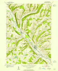
1953 · Avoca
USGS Topo · 1:24,000