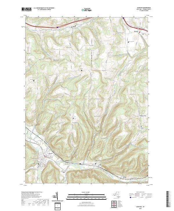
2023 Map of Canisteo
USGS Topo · Published 2023About this map
The Canisteo River valley serves as the primary corridor for settlement and transit in this corner of Steuben County, where the village of Canisteo and the hamlet of Canisteo Center are situated. The landscape is defined by significant elevation changes, with Horton Hill and Tobes Hill overlooking narrow valleys such as Hungry Hollow and Taylor Hollow. This topography has historically funneled local commerce and agriculture toward the river and its major tributaries, including Bennetts Creek and Stephens Creek.
Find a feature on this map
106 named features on this map. Tap any name to fly to it.
Don’t see what you’re looking for? This feature index may not catch every label — zoom into the map to look around manually.
Map Details
Editions of this 2023 Canisteo Map
This is the sole edition of this map. No revisions or reprints were ever made.
Other maps of this area
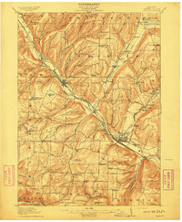
1910 · Bath
USGS Topo · 1:62,500
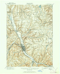
1915 · Hornell
USGS Topo · 1:62,500
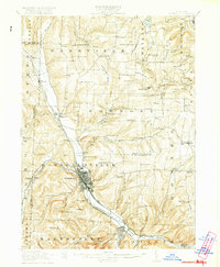
1918 · Hornell
USGS Topo · 1:62,500
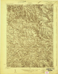
1924 · Woodhull
USGS Topo · 1:48,000
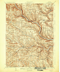
1926 · Woodhull
USGS Topo · 1:62,500
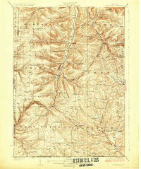
1926 · Greenwood
USGS Topo · 1:62,500
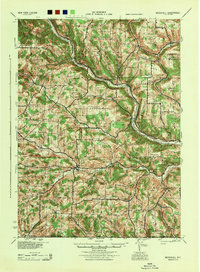
1944 · Woodhull
USGS Topo · 1:62,500

1950 · Elmira
USGS Topo · 1:250,000
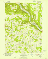
1953 · Cameron
USGS Topo · 1:24,000
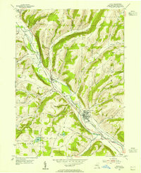
1953 · Avoca
USGS Topo · 1:24,000