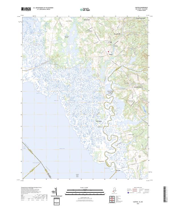
2023 Map of Canton
USGS Topo · Published 2023About this map
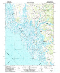
Mad Horse Creek and a complex network of coastal guts and inlets define the saltwater marshes of the Delaware Bay shoreline in this coastal Salem County area. The landscape is a study in colonial-era land use, where the interior transitions from expansive meadows like Silver Lake Meadow and Grandad Meadows into productive agricultural land marked by family-named localities. The settlement of Canton serves as a central hub, flanked by the Canton Baptist Cem and several small private airstrips including Taildragger Acres Airport.
Find a feature on this map
89 named features on this map. Tap any name to fly to it.
Don’t see what you’re looking for? This feature index may not catch every label — zoom into the map to look around manually.
Map Details
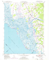
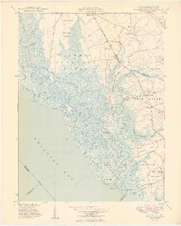
Editions of this 2023 Canton Map
This is the sole edition of this map. No revisions or reprints were ever made.
Historical Maps of Quinton Township Through Time
6 maps found
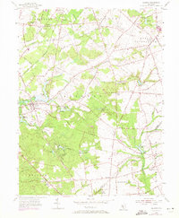
Featured Locations
- Greenwich Township, NJ
- Lower Alloways Creek Township, NJ
- Quinton Township, NJ
- Canton, Lower Alloways Creek Township
- Garrison Corner, Stow Creek Township