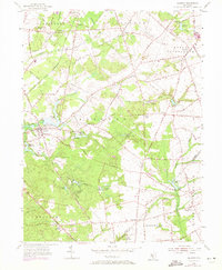
1955 Map of Alloway
USGS Topo · Published 1971About this map
The agricultural and industrial character of Salem County is evident along the banks of Alloway Creek and the Salem River. Centered on the village of Alloway, this landscape is defined by its water-powered history, featuring numerous mill-related water bodies such as Elkinton Millpond, Cobbs Mill Lake, and Bostwick Lake. The mapping reveals a transition into the early 1970s, with updates showing modern developments like the South Jersey Nazarene Camp and the Pipeline corridors that began to intersect the older rural grid.
Find a feature on this map
75 named features on this map. Tap any name to fly to it.
Don’t see what you’re looking for? This feature index may not catch every label — zoom into the map to look around manually.
Map Details
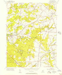
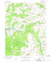
Editions of this 1955 Alloway Map
3 editions found
Other maps of this area

1890 · Salem
USGS Topo · 1:62,500

1890 · Bay Side
USGS Topo · 1:62,500

1890 · Bridgeton
USGS Topo · 1:62,500

1890 · Glassboro
USGS Topo · 1:62,500

1894 · Bay Side
USGS Topo · 1:62,500

1894 · Bridgeton
USGS Topo · 1:62,500

1898 · Salem
USGS Topo · 1:62,500

1898 · Glassboro
USGS Topo · 1:62,500

1899 · Vineland
USGS Topo · 1:125,000

1901 · Camden
USGS Topo · 1:125,000
Featured Places
- Hopewell Township, NJ
- Quinton Township, NJ
- Alloway Township, NJ
- Fox Mill, Upper Pittsgrove Township
- Aldine, Alloway Township