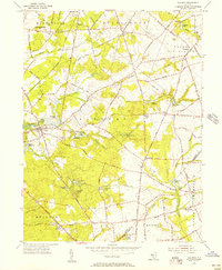
1955 Map of Alloway
USGS Topo · Published 1956About this map
The Alloway Creek and its network of millponds characterize this mid-century landscape in Salem County. The settlement of Alloway serves as a central hub, surrounded by a rural pattern of named corners and hamlets like Yorktown, Friesburg, and Aldine. Water management is a defining feature of the era, visible in the numerous reservoirs and ponds such as Slabtown Lake, Paradise Lakes, and Cobbs Mill Lake, which suggest a legacy of local milling and early industrial utility.
Find a feature on this map
68 named features on this map. Tap any name to fly to it.
Don’t see what you’re looking for? This feature index may not catch every label — zoom into the map to look around manually.
Map Details
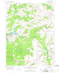
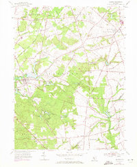
Editions of this 1955 Alloway Map
3 editions found
Other maps of this area

1890 · Salem
USGS Topo · 1:62,500

1890 · Bay Side
USGS Topo · 1:62,500

1890 · Bridgeton
USGS Topo · 1:62,500

1890 · Glassboro
USGS Topo · 1:62,500

1894 · Bay Side
USGS Topo · 1:62,500

1894 · Bridgeton
USGS Topo · 1:62,500

1898 · Salem
USGS Topo · 1:62,500

1898 · Glassboro
USGS Topo · 1:62,500

1899 · Vineland
USGS Topo · 1:125,000

1901 · Camden
USGS Topo · 1:125,000
Featured Places
- Hopewell Township, NJ
- Quinton Township, NJ
- Alloway Township, NJ
- Fox Mill, Upper Pittsgrove Township
- Aldine, Alloway Township