Loading...
Loading map...2024 Map of Canyon Creek
USGS Topo · Published 2024About this map
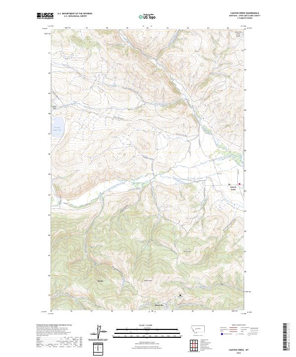
The Lewis and Clark Range defines this high-elevation landscape in Lewis and Clark County, where the historic mining community of Marysville sits near the base of Edward Mtn. The terrain is deeply incised by a network of gulches and creeks, including the drainage of Little Prickly Pear Creek and the man-made Gans Klein Ditch. To the west, the map shows the settlement of Gloster and the waters of Gravelly Range Lake, reached by the winding Gravelly Range Rd.
Find a feature on this map
39 named features on this map. Tap any name to fly to it.
Don’t see what you’re looking for? This feature index may not catch every label — zoom into the map to look around manually.
Map Details
Date Portrayed2024
Date Published2024
PublisherU.S. Geological Survey
Map TypeTopographic
Scale1:24000
Physical Dimensions24 x 29 inches
Editions of this 2024 Canyon Creek Map
This is the sole edition of this map. No revisions or reprints were ever made.
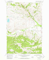
Historical Maps of Marysville Through Time
Featured Locations
Source Details
SourceU.S. Geological Survey
CopyrightPublic Domain