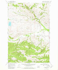
1968 Map of Canyon Creek
USGS Topo · Published 1980About this map
Marysville sits at the base of Edward Mountain in this late 1960s survey, a landscape deeply marked by Montana's mining heritage. The area between Silver Creek and Trinity Creek is dotted with legacy operations, including the Big Ox Mine and the extensive Empire Mine. Near the Gloster townsite, numerous Prospects and Dredge Tailings trace the history of mineral extraction along the gulches. Water management for the region's industry and agriculture is visible through the infrastructure of the Gans Ditch and Justisson Ditch. To the north, the terrain transitions into the valley of Little Prickly Pear Creek near the settlement of Canyon Creek. This map also documents local recreation and community landmarks, such as the Belmont Ski Area and the Marysville Cem, providing a detailed view of a mountain community shaped by both natural resources and seasonal tourism.
Find a feature on this map
36 named features on this map. Tap any name to fly to it.
Don’t see what you’re looking for? This feature index may not catch every label — zoom into the map to look around manually.
Map Details
Editions of this 1968 Canyon Creek Map
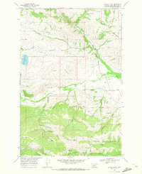

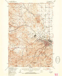
Other maps of this area

1889 · Helena
USGS Topo · 1:250,000

1893 · Helena
USGS Topo · 1:250,000

1899 · Helena
USGS Topo · 1:250,000

1903 · Helena
USGS Topo · 1:250,000

1947 · Butte
USGS Topo · 1:250,000
1950 · Helena
USGS Topo · 1:62,500

1958 · Butte
USGS Topo · 1:250,000
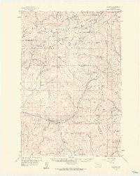
1959 · Elliston
USGS Topo · 1:62,500

1960 · Butte
USGS Topo · 1:250,000

1962 · Butte
USGS Topo · 1:250,000