Loading...
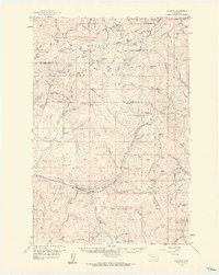
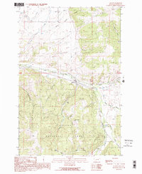
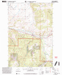
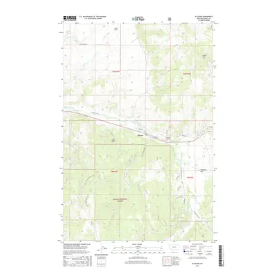
Loading map...1959 Map of Elliston
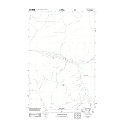
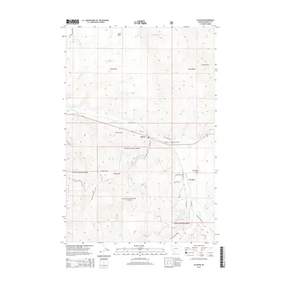
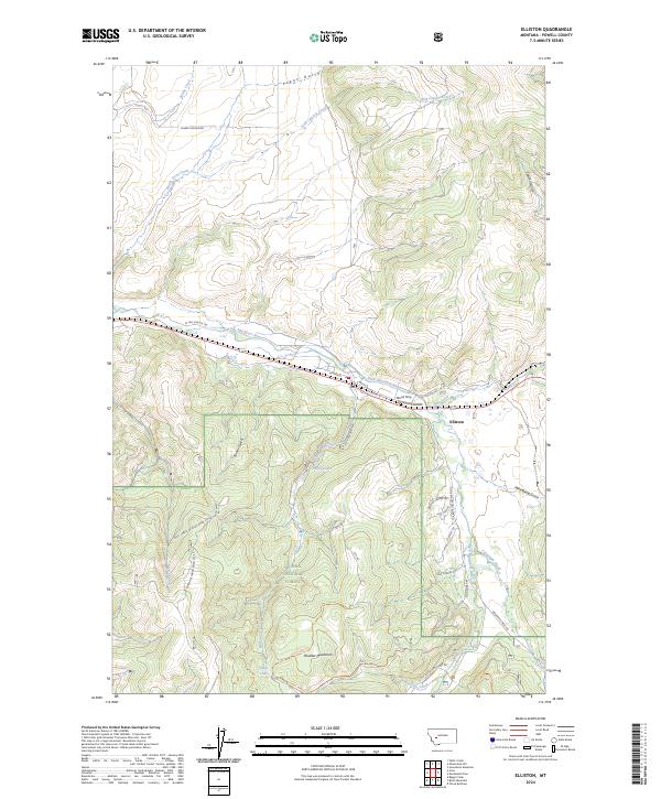
USGS Topo · Published 1961About this map
Elliston serves as the primary rail hub in this high-altitude landscape, where the Northern Pacific railroad winds through the mountains of the Helena National Forest. Positioned near the Continental Divide, the area is defined by its mining heritage and infrastructure, visible through named claims like the Belmont Mine and the Carbonate King Mine. The terrain is deeply carved by gulches and creeks, with the railroad navigating the steep grade toward Mullan Pass.
Find a feature on this map
119 named features on this map. Tap any name to fly to it.
Don’t see what you’re looking for? This feature index may not catch every label — zoom into the map to look around manually.
Map Details
Date Portrayed1959
Date Published1961
PublisherU.S. Geological Survey
Map TypeTopographic
Scale1:62,500
Physical Dimensions16.98 x 21.35 inches
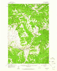
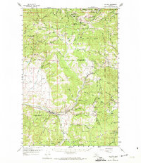
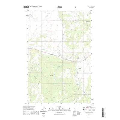
Editions of this 1959 Elliston Map
3 editions found
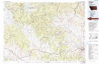
Historical Maps of Blossburg Through Time
9 maps found
Featured Locations
Source Details
SourceU.S. Geological Survey
CopyrightPublic Domain