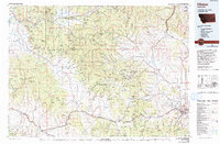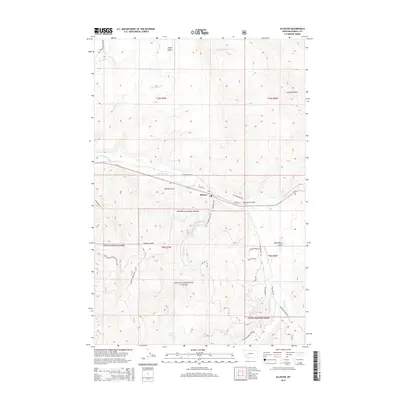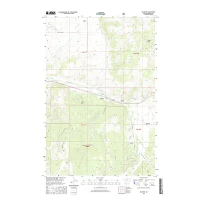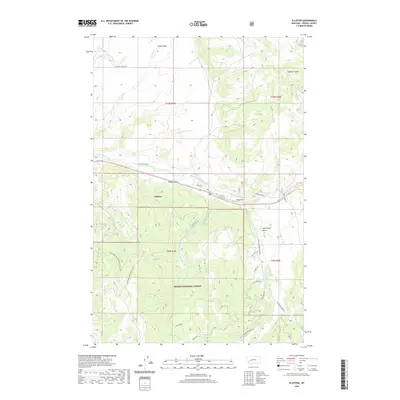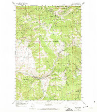
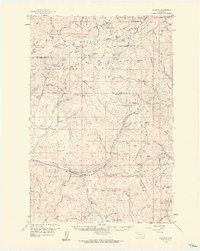
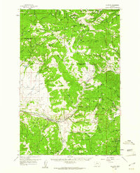
1959 Map of Elliston
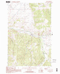
USGS Topo · Published 1974About this map
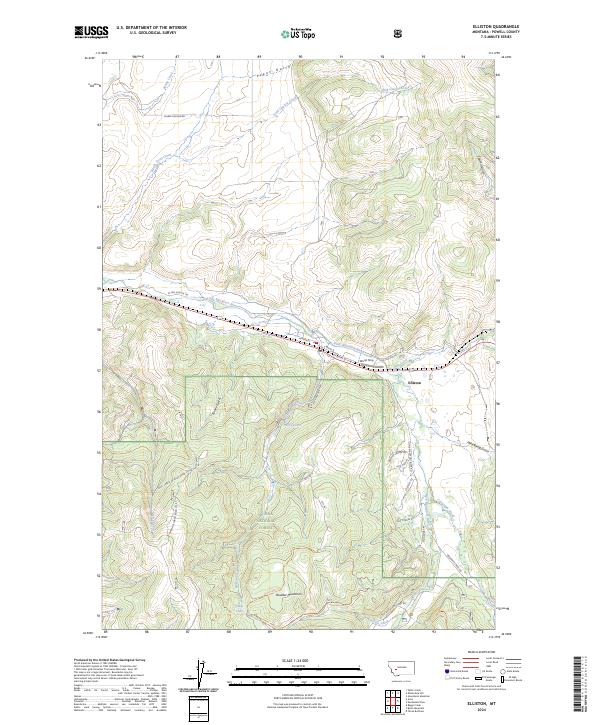
Helena National Forest and the Continental Divide define this landscape, where mining operations and railroad engineering met the high mountain passes of the Rockies in the mid-20th century. The Northern Pacific railroad corridor is central to the area's development, featuring the Mullan Tunnel and the high-altitude crossing at Mullan Pass. In the northern reaches, the mining legacy of Marysville is evident near Drumlummon Hill and the Shannon Mine, while further south, the town of Elliston sits along the Little Blackfoot River. The era's recreational and cultural footprint is captured through several dedicated sites, including a YMCA Camp, a Boy Scout Camp, and the notable Frontier Town attraction. Numerous resource extractions are documented, from the Carbonate King Mine to various prospects and a Gravel Pit scattered across the Lewis and Clark and Powell County line.
Find a feature on this map
93 named features on this map. Tap any name to fly to it.
Don’t see what you’re looking for? This feature index may not catch every label — zoom into the map to look around manually.
Map Details
Editions of this 1959 Elliston Map
3 editions found
Historical Maps of Blossburg Through Time
9 maps found