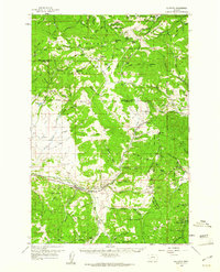
1959 Map of Elliston
USGS Topo · Published 1961About this map
The Continental Divide snake through this portion of the Montana Rockies, separating the headwaters of the Little Blackfoot River from the eastern slopes. The Northern Pacific railroad dominates the transportation corridor, navigating the steep grades via the Mullan Tunnel near Mullan Pass. This alignment reflects the late-19th-century engineering required to bridge the divide, connecting settlements like Elliston and Blossburg to the wider rail network.
Find a feature on this map
84 named features on this map. Tap any name to fly to it.
Don’t see what you’re looking for? This feature index may not catch every label — zoom into the map to look around manually.
Map Details
Editions of this 1959 Elliston Map
3 editions found

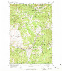
Other maps of this area

1889 · Helena
USGS Topo · 1:250,000

1893 · Helena
USGS Topo · 1:250,000

1899 · Boulder
USGS Topo · 1:125,000

1899 · Helena
USGS Topo · 1:250,000

1903 · Helena
USGS Topo · 1:250,000

1947 · Butte
USGS Topo · 1:250,000

1950 · Jefferson City
USGS Topo · 1:62,500

1950 · Helena
USGS Topo · 1:62,500

1954 · Basin
USGS Topo · 1:62,500

1958 · Butte
USGS Topo · 1:250,000