
1958 Map of Butte
USGS Topo · Published 1958About this map
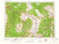
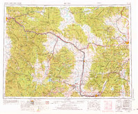
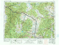
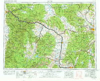
The Continental Divide winds through this West-Central Montana landscape, marking a rugged transition between the mountain ranges and the industrial hubs of the late 1950s. Butte stands as the primary urban anchor, its footprint defined by intensive extraction efforts including an Open Pit Mine and the rail network of the Milwaukee St Paul and Pacific. To the west, the mining and smelting legacy continues in Anaconda, while the state capital of Helena lies to the northeast against the Elkhorn Mountains. This era reflects a landscape still heavily reliant on the rails of the Burlington Northern and the emerging Interstate 90 corridor. Between these centers, small settlements like Bearmouth, Goldcreek, and the Potomac Post Office represent the persistent rural and postal network of the high country, surrounded by the vast timberlands of the Lolo National Forest and Helena National Forest.
Find a feature on this map
71 named features on this map. Tap any name to fly to it.
Don’t see what you’re looking for? This feature index may not catch every label — zoom into the map to look around manually.
Map Details
Editions of this 1958 Butte Map
5 editions found
Other maps of this area

1886 · Great Falls
USGS Topo · 1:250,000

1886 · Fort Logan
USGS Topo · 1:250,000

1888 · Three Forks
USGS Topo · 1:250,000

1889 · Helena
USGS Topo · 1:250,000

1893 · Helena
USGS Topo · 1:250,000

1893 · Dillon
USGS Topo · 1:250,000

1894 · Three Forks
USGS Topo · 1:250,000

1895 · Three Forks
USGS Topo · 1:250,000

1899 · Boulder
USGS Topo · 1:125,000

1899 · Helena
USGS Topo · 1:62,500