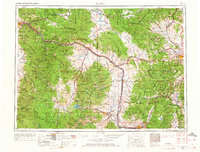
1958 Map of Butte
USGS Topo · Published 1968About this map
The Continental Divide winds through this mid-century western landscape, separating the headwaters of the Blackfoot R and Clark Fork. The map documents a rugged interior defined by resource extraction and high-altitude transit, with concentrated settlements at Butte and Anaconda serving as industrial anchors. Notable for genealogists and local historians are the isolated sites of the Garnet Mining Camp, Copper Cliff Mining Camp, and Gould Mining Camp, which speak to the area's deep-rooted mining heritage. Infrastructure is dominated by transcontinental rail lines, including the Milwaukee St Paul & Pacific and the Northern Pacific, which follow the river valleys and narrow mountain passes. Smaller rural hubs like Potomac Post Office and Greenough Post Office appear alongside the academic grounds of the University of Montana in Missoula, providing a complete view of the region's social and economic geography before the interstate era fully matured.
Find a feature on this map
53 named features on this map. Tap any name to fly to it.
Don’t see what you’re looking for? This feature index may not catch every label — zoom into the map to look around manually.
Map Details
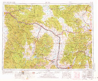
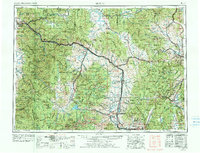
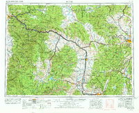
Editions of this 1958 Butte Map
5 editions found

Other maps of this area

1886 · Great Falls
USGS Topo · 1:250,000

1886 · Fort Logan
USGS Topo · 1:250,000

1888 · Three Forks
USGS Topo · 1:250,000

1889 · Helena
USGS Topo · 1:250,000

1893 · Helena
USGS Topo · 1:250,000

1893 · Dillon
USGS Topo · 1:250,000

1894 · Three Forks
USGS Topo · 1:250,000

1895 · Three Forks
USGS Topo · 1:250,000

1899 · Boulder
USGS Topo · 1:125,000

1899 · Helena
USGS Topo · 1:62,500