
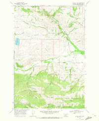
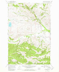
1968 Map of Canyon Creek
USGS Topo · Published 1980About this map
Marysville serves as the primary hub of this 1968 landscape, situated at the base of Edward Mountain in a region defined by its deep mining heritage. The area is marked by a complex network of resource extraction and water management, visible in the numerous Prospects and larger operations like the Empire Mine and Big Ox Mine. The legacy of the 19th-century gold rush is physically etched into the terrain through Dredge Tailings along the creek beds and the presence of the Gloster (Site), indicating a once-active settlement that had largely faded by the mid-20th century.
Find a feature on this map
35 named features on this map. Tap any name to fly to it.
Don’t see what you’re looking for? This feature index may not catch every label — zoom into the map to look around manually.
Map Details
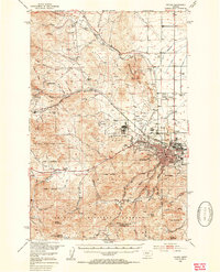
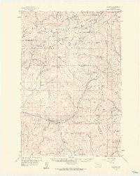
Editions of this 1968 Canyon Creek Map
Other maps of this area

1889 · Helena
USGS Topo · 1:250,000

1893 · Helena
USGS Topo · 1:250,000

1899 · Helena
USGS Topo · 1:250,000

1903 · Helena
USGS Topo · 1:250,000

1947 · Butte
USGS Topo · 1:250,000
1950 · Helena
USGS Topo · 1:62,500

1958 · Butte
USGS Topo · 1:250,000
1959 · Elliston
USGS Topo · 1:62,500

1960 · Butte
USGS Topo · 1:250,000

1962 · Butte
USGS Topo · 1:250,000