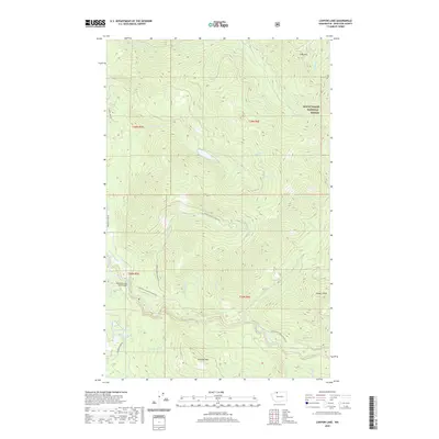
2020 Map of Canyon Lake
USGS Topo · Published 2020About this map
The Middle Fork Nooksack River winds through this section of the Mount Baker National Forest, illustrating a landscape defined by sharp elevation changes and high-altitude peaks. Peaks such as Slide Mtn, Stewart Peak, and Bowman Mtn overlook a dense drainage network that includes Canyon Cr, Clearwater Cr, and Toboggan Cr. This high-country topography is accessed primarily through timber-related infrastructure, including the Porter Creek Logging Rd and the Anacortes Veneer Logging Rd.
Find a feature on this map
29 named features on this map. Tap any name to fly to it.
Don’t see what you’re looking for? This feature index may not catch every label — zoom into the map to look around manually.
Map Details
Editions of this 2020 Canyon Lake Map
This is the sole edition of this map. No revisions or reprints were ever made.
Other maps of this area

1909 · Mt Baker
USGS Topo · 1:192,000

1915 · Mt. Baker
USGS Topo · 1:250,000

1919 · Van Zandt
USGS Topo · 1:62,500

1921 · Wickersham
USGS Topo · 1:62,500

1951 · Wickersham
USGS Topo · 1:62,500

1951 · Van Zandt
USGS Topo · 1:62,500

1952 · Mt. Baker
USGS Topo · 1:62,500

1952 · Hamilton
USGS Topo · 1:62,500

1955 · Concrete
USGS Topo · 1:250,000

1957 · Victoria
USGS Topo · 1:250,000