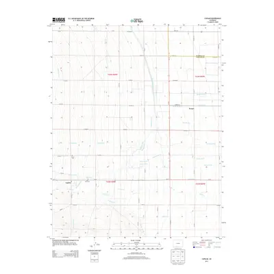
2013 Map of Capulin
USGS Topo · Published 2013About this map
Capulin and the nearby settlement of Morgan are situated within an intricate web of irrigation and drainage systems in the San Luis Valley. The landscape is defined by the management of the Alamosa River and La Jara Cr, with numerous engineered waterways such as the Monte Vista Canal, Scandinavian Ditch, and Morganville Ditch supporting the region's agricultural layout. These ditches often follow the section lines of the Public Land Survey System, creating a distinctive grid-like pattern across the valley floor. Genealogists and local historians will find significant markers at the Capulin Cem and Saint Joseph Cem, which serve as permanent records of the community's heritage near the junction of Co-15. The presence of features like the Viejo Ditch and New Exchange Ditch highlights a complex history of water rights and land use essential to this high-altitude environment.
Find a feature on this map
52 named features on this map. Tap any name to fly to it.
Don’t see what you’re looking for? This feature index may not catch every label — zoom into the map to look around manually.
Map Details
Editions of this 2013 Capulin Map
This is the sole edition of this map. No revisions or reprints were ever made.
Other maps of this area

1922 · Conejos
USGS Topo · 1:125,000

1945 · Durango
USGS Topo · 1:250,000

1953 · Durango
USGS Topo · 1:250,000

1954 · Durango
USGS Topo · 1:250,000

1954 · Trinidad
USGS Topo · 1:250,000

1955 · Trinidad
USGS Topo · 1:250,000

1958 · Trinidad
USGS Topo · 1:250,000

1959 · Trinidad
USGS Topo · 1:250,000

1961 · Durango
USGS Topo · 1:250,000

1963 · Durango
USGS Topo · 1:250,000