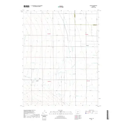
2019 Map of Capulin
USGS Topo · Published 2019About this map
Capulin and the small settlement of Morgan anchor this San Luis Valley landscape, situated along the border of Conejos and Alamosa counties. The terrain is defined by an intricate network of irrigation, reflecting the region's agricultural dependency on water diverted from the Alamosa River and La Jara Cr. Notable waterworks such as the Monte Vista Canal, Scandinavian Ditch, and Capulin Ditch crisscross the valley floor, creating a complex hydraulic grid that sustains the local ranching and farming operations. For those researching family history, the map identifies local burial grounds including Saint Joseph Cem and Capulin Cem, providing precise locations for these community landmarks. The southern portion of the quadrangle shows the transition toward the La Jara Arroyo, where the flat plains begin to meet rising elevations.
Find a feature on this map
45 named features on this map. Tap any name to fly to it.
Don’t see what you’re looking for? This feature index may not catch every label — zoom into the map to look around manually.
Map Details
Editions of this 2019 Capulin Map
This is the sole edition of this map. No revisions or reprints were ever made.
Other maps of this area
1922 · Conejos
USGS Topo · 1:125,000

1945 · Durango
USGS Topo · 1:250,000

1953 · Durango
USGS Topo · 1:250,000
1954 · Durango
USGS Topo · 1:250,000

1954 · Trinidad
USGS Topo · 1:250,000

1955 · Trinidad
USGS Topo · 1:250,000

1958 · Trinidad
USGS Topo · 1:250,000
1959 · Trinidad
USGS Topo · 1:250,000
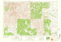
1961 · Durango
USGS Topo · 1:250,000
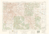
1963 · Durango
USGS Topo · 1:250,000