Loading...
Loading map...2024 Map of Carbon Hill
USGS Topo · Published 2024About this map
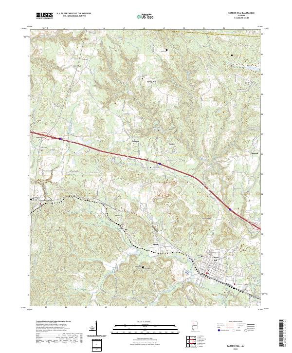
Carbon Hill sits at the center of this Walker County landscape, showing its organized street grid and proximity to the winding waters of Allen Creek. The surrounding area is defined by a series of small, established settlements like Kansas, Eldridge, and Spring Hill, many of which developed along early transportation corridors such as Byler Rd and Homestead Rd.
Find a feature on this map
124 named features on this map. Tap any name to fly to it.
Don’t see what you’re looking for? This feature index may not catch every label — zoom into the map to look around manually.
Map Details
Date Portrayed2024
Date Published2024
PublisherU.S. Geological Survey
Map TypeTopographic
Scale1:24000
Physical Dimensions24 x 29 inches
Editions of this 2024 Carbon Hill Map
This is the sole edition of this map. No revisions or reprints were ever made.
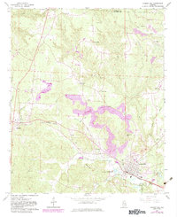
Historical Maps of Dogtown Through Time
Featured Locations
Source Details
SourceU.S. Geological Survey
CopyrightPublic Domain